Other ID: none
Status: Completed
Organization(s): USGS, Woods Hole Coastal and Marine Science Center
Funding Program(s): Cross-Shore and Inlets (CSI) Processes Project (LQ00GUB)
Principal Investigator(s): John Warner
Affiliate Investigator(s):
Information Specialist(s): Steven Suttles
Data Type(s): Location-Elevation: Navigation, Sampling: Geology, Time Series: Mooring (physical oceanography)
Scientific Purpose/Goals: Measure cross-shore sediment transport processes in the presence of an inlet. Focus of this study will be in the nearshore just offshore of the surfzone.
Vehicle(s):
Start Port/Location: Savannah, GA
End Port/Location: Savannah, GA
Start Date: 2018-01-18
End Date: 2018-01-26
Equipment Used: GPS - Handheld, Shipek grab, Bottom platform
Information to be Derived: Water velocities, pressure, waves, seabed change, turbidity, temperature, conductivity, wind speed, wind direction, atmospheric pressure, and sediment grain size.
Summary of Activity and Data Gathered: Successfully deployed 2 bottom landing quadpod frames, and 2 surface buoys at Matanzas Inlet, FL on 1/24/2018 from the R/V Savannah. Also collected 6 sediment samples for grain size analysis.
Staff: Jonathan Borden, Eric Marsjanik, Marinna Martini, Ellyn Montgomery, Steven Suttles, John Warner
Affiliate Staff:
Notes:
Location:
Matanzas Inlet, Florida, United States, Atlantic Ocean
| Boundaries | |||
|---|---|---|---|
| North: 29.732 | South: 29.686 | West: -81.25 | East: -81.18 |
Platform(s):
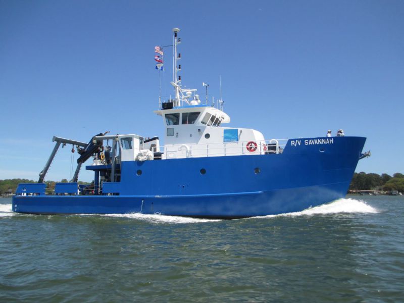 Savannah |
Martini, M.A., Montgomery, E.T., Suttles, S.E., and Warner, J.C., 2021, Summary of oceanographic and water-quality measurements offshore of Matanzas Inlet, Florida, 2018: U. S. Geological Survey Open-File Report 2021-1014, https://doi.org/10.3133/ofr20211014.
Suttles, S.E., De Meo, O.A., Martini, M.A., Warner, J.C., 2024, Grain-size analysis data from sediment samples in support of oceanographic and water-quality measurements in the nearshore zone of Matanzas Inlet, Florida, 2018: U.S. Geological Survey data release, https://doi.org/10.5066/P9X7VIN2.
Suttles, S.E., Warner, J.C., Montgomery, E.T. and Martini, M.A., 2019, Oceanographic and water quality measurements in the nearshore zone at Matanzas Inlet, Florida, January – April, 2018: U.S. Geological Survey data release https://doi.org/10.5066/P9GKB537.
| Survey Equipment | Survey Info | Data Type(s) | Data Collected |
|---|---|---|---|
| GPS - Handheld | --- | Navigation | |
| Shipek grab | --- | Geology | |
| Bottom platform | --- | Mooring (physical oceanography) | Matanzas_all (Data from all platforms) |
