Other ID: none
Status: Pending
Organization(s): USGS, Woods Hole Coastal and Marine Science Center
Funding Program(s): Estuarine Processes, Hazards, and Ecosystems (LQ00G3S)
Principal Investigator(s): Neil Kamal Ganju
Affiliate Investigator(s):
Information Specialist(s): Daniel Nowacki, Steven Suttles
Data Type(s): Imagery: Photo, Location-Elevation: Navigation, Sampling: Chemistry, Time Series: Mooring (physical oceanography)
Scientific Purpose/Goals: To quantify critical sediment transport parameters of diverse wetland complexes within 4 NCBN parks, Cape Cod NS, Fire Island NS, Gateway NRA and Assateague Island NS in order to inform management efforts. Suspended-sediment concentration data over tidal and seasonal timescales and will directly inform and improve the predications developed as part of the marsh modeling effort for these parks.
Vehicle(s):
Start Port/Location: Jamaica Bay, NY
End Port/Location: Great South Bay, NY
Start Date: 2018-03-26
End Date: 2018-03-30
Equipment Used: Digital camera, Garmin GPS 76, Spectra Precision SP80, Water sampler, Bottom platform
Information to be Derived: Deployment of time series instruments to measure currents, waves, pressure, and water-quality parameters. Water samples will be collected for suspended sediment concentration, volatile solids, and stable isotope analysis. Digital camera will be deployed to take time series photos of the marsh edge.
Summary of Activity and Data Gathered:
Staff: Eric Marsjanik, Daniel Nowacki, Steven Suttles, Other
Affiliate Staff:
Notes: Re-deployment of instruments in Jamaica Bay and Great South Bay, NY after threat of Winter ice. Time series data collected for this study will be associated field activity (2017-045-FA) from deployment in August 2017.
Entries for this field activity are based on entries from Field Activity 2017-031-FA
Entries for this field activity are based on entries from Field Activity 2017-045-FA
Entries for this field activity are based on entries from Field Activity 2017-055-FA
Entries for this field activity are based on entries from Field Activity 2017-064-FA
Entries for this field activity are based on entries from Field Activity 2017-067-FA
Location:
Jamaica Bay, NY and Great South Bay, NY
| Boundaries | |||
|---|---|---|---|
| North: 40.79548801 | South: 40.53227989 | West: -73.96957397 | East: -72.77356296 |
Platform(s):
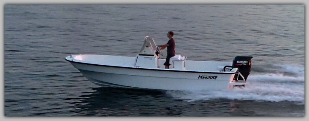
 Muddy Waters | Small Power Boat Class A |
Nowacki, D. J., Suttles, S.E., Ganju, N.K., Montgomery, E.T. and Martini, M.A., 2019, Oceanographic and water quality measurements collected in Jamaica Bay, NY and Great South Bay, NY, August 2017–June 2018: U.S. Geological Survey data release, https://doi.org/10.5066/P9BD78FQ.
| Survey Equipment | Survey Info | Data Type(s) | Data Collected |
|---|---|---|---|
| Digital camera | --- | Photo | |
| Garmin GPS 76 | --- | Navigation | |
| Spectra Precision SP80 | --- | Navigation | |
| Water sampler | --- | Chemistry | |
| Bottom platform | --- | Mooring (physical oceanography) |