Other ID: none
Status: Cancelled
Organization(s): USGS, Woods Hole Coastal and Marine Science Center
Funding Program(s): Other (Other)
Principal Investigator(s): John O'Malley
Affiliate Investigator(s):
Information Specialist(s): Seth Ackerman
Data Type(s): Imagery: Photo, Imagery: Video, Sampling: Geology
Scientific Purpose/Goals: To collect geologic framework information from inner shelf and inlet (where possible) for coastal-change studies
Vehicle(s):
Start Port/Location: Bass River, NJ
End Port/Location: Bass River, NJ
Start Date: 2018-09-23
End Date: 2018-09-27
Equipment Used: Digital camera, SeaBOSS
Information to be Derived: surficial geology, stratigraphy, Holocene sed thickness, depth to transgressive UC, etc
Summary of Activity and Data Gathered:
Staff: Seth Ackerman, Wayne Baldwin, Other
Affiliate Staff:
Notes: This field activity was entered twice so I am canceling this one. See field activity 2018-049-FA for the real one.
Location:
Little Egg Inlet, New Jersey, United States, Atlantic Ocean
| Boundaries | |||
|---|---|---|---|
| North: 39.56970507 | South: 39.4243 | West: -74.45983887 | East: -74.22515869 |
Platform(s):
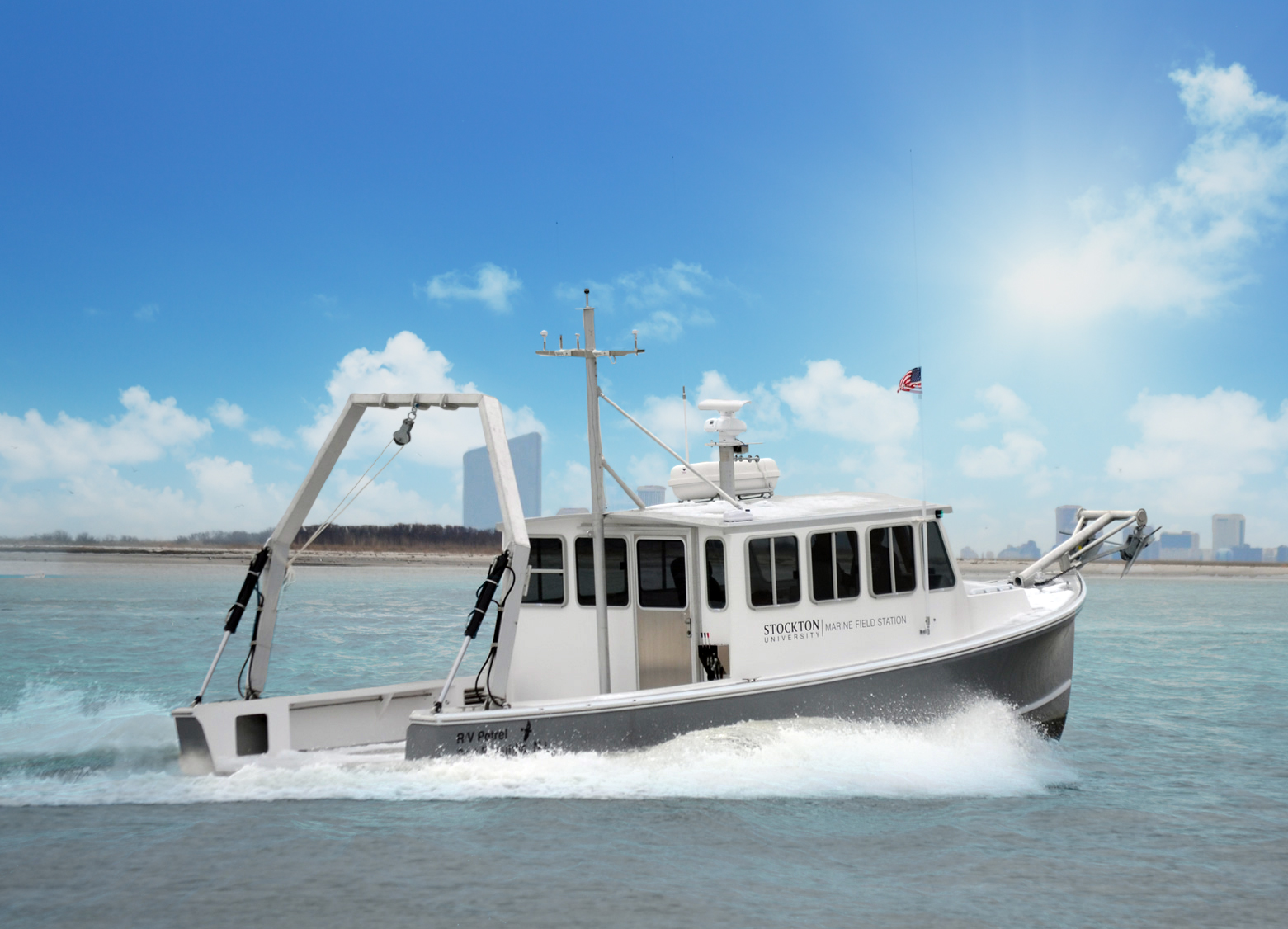 R/V Petrel - Stockton University |
| Survey Equipment | Survey Info | Data Type(s) | Data Collected |
|---|---|---|---|
| Digital camera | --- | Photo | |
| SeaBOSS | --- | Surveys (biological) Experiments (biological) Species ID Photo Video Geology Biology |
