Other ID: none
Status: Pending
Organization(s): USGS, Woods Hole Coastal and Marine Science Center
Funding Program(s): Estuarine Processes, Hazards, and Ecosystems (LQ00G3S)
Principal Investigator(s): Neil Kamal Ganju
Affiliate Investigator(s):
Information Specialist(s): Steven Suttles
Data Type(s): Location-Elevation: Navigation
Scientific Purpose/Goals: To quantify critical sediment transport parameters of diverse wetland complexes within 4 NCBN parks, Cape Cod NS, Fire Island NS, Gateway NRA and Assateague Island NS in order to inform management efforts. Suspended-sediment concentration data over tidal and seasonal timescales and will directly inform and improve the predications developed as part of the marsh modeling effort for these parks.
Vehicle(s):
Start Port/Location: Wellfleet, MA
End Port/Location: Wellfleet, MA
Start Date: 2018-11-01
End Date: 2018-11-01
Equipment Used: GPS - Handheld
Information to be Derived: Recon trip for site selection.
Summary of Activity and Data Gathered:
Staff: Jonathan Borden, Neil Kamal Ganju, Eric Marsjanik, Steven Suttles
Affiliate Staff:
Notes:
Location:
Herring River, Wellfleet, Massachusetts, United States, Cape Cod National Seashore
| Boundaries | |||
|---|---|---|---|
| North: 41.94398134 | South: 41.91391145 | West: -70.07816315 | East: -70.04793803 |
Platform(s):
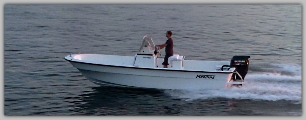
 Muddy Waters |
De Meo, O.A., Suttles, S.E., Ganju, N.K., and Marsjanik, E.D., 2023, Water quality data from a multiparameter sonde collected in the Herring River during November 2018 to November 2019 in Wellfleet, MA: U.S. Geological Survey data release, https://doi.org/10.5066/P9K3SCKY.
De Meo, O.A., Suttles, S.E., Ganju, N.K., Marsjanik, E.D., 2022, Suspended-sediment concentrations and loss-on-ignition from water samples collected in the Herring River during 2018-19 in Wellfleet, MA (ver 1.1, March 2023): U.S. Geological Survey data release, https://doi.org/10.5066/P9ZL2IPN.
| Survey Equipment | Survey Info | Data Type(s) | Data Collected |
|---|---|---|---|
| GPS - Handheld | --- | Navigation |