Other ID: none
Status: Completed
Organization(s): USGS, St. Petersburg Coastal and Marine Science Center
Funding Program(s): Coral Reef Ecosystems Studies - CREST (GX.22.MN00.E3R50.00)
Principal Investigator(s): Kimberly Yates, David Zawada
Affiliate Investigator(s):
Information Specialist(s): Joseph Fredericks
Data Type(s): Sonar: Multibeam
Scientific Purpose/Goals: Sediment accumulation in area of survey
Vehicle(s): Ford F-350 Dually Silver (GSA)
Start Port/Location: Tavernier, FL
End Port/Location: Tavernier, FL
Start Date: 2018-03-08
End Date: 2018-03-15
Equipment Used: Multibeam Bathymetry System
Information to be Derived: Bottom elevations
Summary of Activity and Data Gathered: Bottom elevations
Staff: Nancy DeWitt, Andrew Farmer, Joseph Fredericks, Billy Reynolds, Hunter Wilcox
Affiliate Staff:
Notes: Resurvey of Priority 1 Box. Also will use the bathymetric control plates installed on sed stations.
Location:
Crocker Reef, Florida Keys
| Boundaries | |||
|---|---|---|---|
| North: 24.96419488 | South: 24.86150442 | West: -80.61844826 | East: -80.46838857 |
Platform(s):
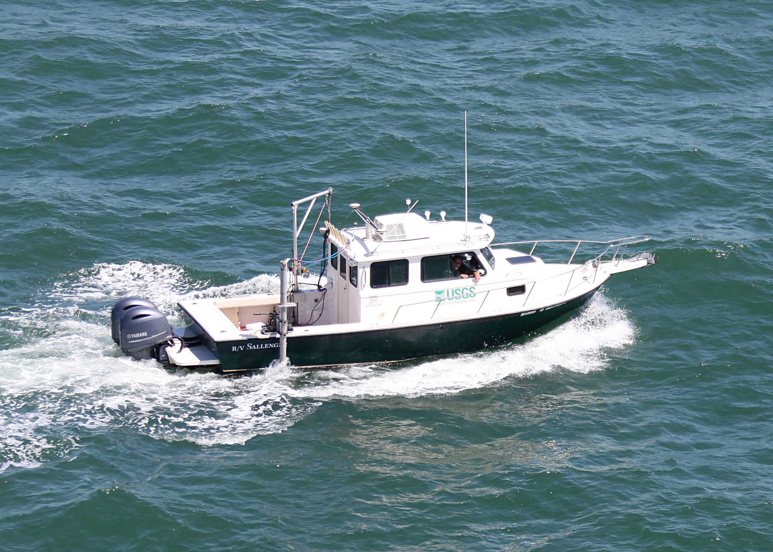
 Sallenger |
Fredericks, J.J., Farmer, A.S., Yates, K.K., Zawada, D.G., 2019, Multibeam bathymetry data collected in March 2018 at Crocker Reef, the Florida Keys: U.S. Geological Survey data release, https://doi.org/10.5066/P93PPPHU.
Murphy, K.A., Yates, K.K., 2021, Crocker Reef, Florida, 2017â2018 seafloor elevation stability models, maps, and tables: U.S. Geological Survey data release, https://doi.org/10.5066/P93998WB.
Yates, K.K., Zawada, D.G., Fehr, Z.W., Arsenault, S.R., 2019, Seafloor elevation change from 2017 to 2018 at a subsection of Crocker Reef, Florida KeysâImpacts from Hurricane Irma : U.S. Geological Survey data release, https://doi.org/10.5066/P94TY8CT.
Zieg, J., Zawada, D.G., 2021, Improving ESRI ArcGIS Performance of Coastal and Seafloor Analyses with the Python Multiprocessing Module: Journal of Coastal Research, Journal of Coastal Research, v. 37 no. 6, doi: 10.2112/JCOASTRES-D-21-00026.1.
| Survey Equipment | Survey Info | Data Type(s) | Data Collected |
|---|---|---|---|
| Multibeam Bathymetry System | --- | Multibeam | 2017_2018_CrockerReef_ Maps_Point_5Resolutions.zip (Stability point model maps for each model resolution based on elevation-change point locations) 2017_2018_CrockerReef_ Map_Packages_5Resolutions.zip (ArcGIS map packages containing the habitat files and the binned and color coded stability point and surface (TIN) models for each model resolution) 2017_2018_CrockerReef_ Maps_TIN_5Resolutions.zip (Stability surface model maps for each model resolution based on TIN interpolation of elevation-change point locations) 2017_2018_CrockerReef_ Tables_5Resolutions.zip (Tables containing elevation-change information for the habitat types, extracted from the stability point and surface (TIN) models for each model resolution) 2018_SubsectionCrockerReef_Multibeam_Clip.zip (Multibeam DEM, clipped to study area, used to produce this dataset ) SubsectionCrockerReef_Habitat_Clip.zip (Original habitat map, clipped to study area, used to produce this dataset ) SubsectionCrockerReef_Elevation_ and_Volume_Statistics.zip (Spreadsheets containing elevation and volume change statistics of the study area) 2017_SubsectionCrockerReef_Multibeam_Clip.zip (Multibeam DEM, clipped to study area, used to produce this dataset) SubsectionCrockerReef_IntersectPoints.zip (Elevation change points, clipped to study area, used to produce this dataset) Crocker_2018_MBB_xyz.zip (Processed elevation point data (xyz) as derived from a 1-meter grid provided in WGS84) |