Other ID: subFANS = 18CCT01, 18CCT02, 18CCT03, 18CCT04
Status: Completed
Organization(s): USGS, St. Petersburg Coastal and Marine Science Center
Funding Program(s): Hurricane Sandy Supplemental Funding (Miselis) (GX.13.MN00.GGH02.00)
Principal Investigator(s): Jennifer Miselis
Affiliate Investigator(s):
Information Specialist(s): Nancy DeWitt, Joseph Fredericks, Billy Reynolds, Chelsea Stalk
Data Type(s): Location-Elevation: Benchmarks, Location-Elevation: Navigation, Seismics: Sub Bottom Profiler, Sonar: Single Beam, Sonar: Sound Velocity
Scientific Purpose/Goals: Reoccupy previous single-beam bathymetry survey tracklines and acquire seismic subbottom lines that traverse the surf zone by beach launching the 512i.
Vehicle(s): Rental Vehicle, Chevy Suburban Silver
Start Port/Location: Fire Island National Seashore, Long Island, NY
End Port/Location: Fire Island National Seashore, Long Island, NY
Start Date: 2018-05-30
End Date: 2018-06-20
Equipment Used: Ashtech ProFlex 500 GNSS Receiver, Ashtech ProFlex 800 GNSS Receiver, Choke Ring Antenna, Collapsible Tripod, Other, Castaway-CTD, Chirp 512i, Singlebeam Echosounder
Information to be Derived: Single beam xyz data; sound velocity casts; seismic subbottom profiles; and GPS base station and GPS boat files used to process DGPS.
Summary of Activity and Data Gathered: Collected 416 single beam bathy lines, 193 SVP casts and 115 chirp 512i lines.
Staff: Nancy DeWitt, Andrew Farmer, Joseph Fredericks, Jennifer Miselis, Billy Reynolds, Chelsea Stalk, Anastasios Stathakopoulos, Lance Thornton, Hunter Wilcox
Affiliate Staff:
Notes: R/V Sallenger seismic will be the overall FAN; R/V Sallenger SBB = subFan 18CCT01, R/V Shark SBB = subFAN 18CCT02; R/V Chum SBB = subFAN 18CCT03, Sled = 18CCT04
Location:
Fire Island National Seashore, Long Island, NY
| Boundaries | |||
|---|---|---|---|
| North: 40.74121304 | South: 40.59687404 | West: -73.28274694 | East: -72.79535409 |
Platform(s):
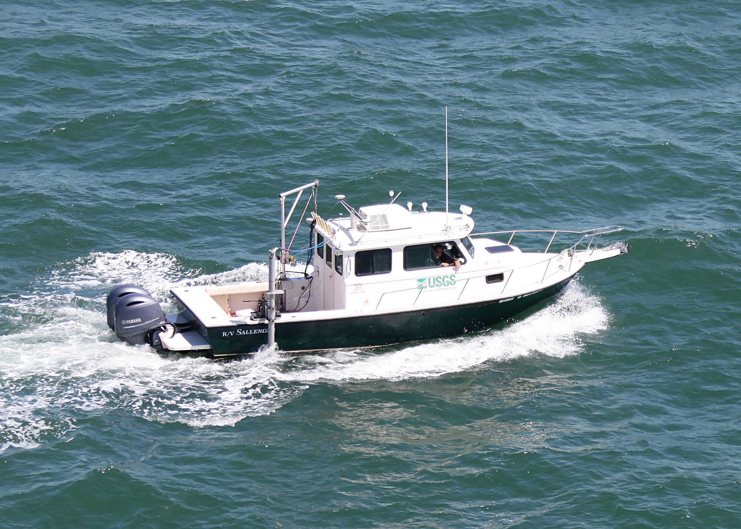
 Personal Water Craft (Blue WVR2 - Chum) |  Personal Water Craft (White WVR1 - Shark) |  Sallenger |
Buster, N.A., Miselis, J.L., Wei, E.A., Forde, A.S., 2025, Assessment of Active Sand Volumes at Rockaway Beach and Fire Island in New York and Seven Mile Island in New Jersey: U.S. Geological Survey Data Report 1211, https://doi.org/10.3133/dr1211.
Forde, A.S., DeWitt, N.T., Fredericks, J.J., Miselis, J.L., 2019, Archive of chirp subbottom profile data collected in June 2018 from Fire Island, New York: U.S. Geological Survey data release, https://doi.org/10.5066/P9Q8TVHH.
Stalk, C.A., Miselis, J.L., Reynolds, B.J., Fredericks, J.J., DeWitt, N.T., Farmer, A.S., Wilcox, H.S., Lemon M.K., 2018, Coastal bathymetry data collected in June 2018 from Fire Island, New York: Wilderness breach and shoreface : U.S. Geological Survey data release, https://doi.org/10.5066/F7PC30N8.
| Survey Equipment | Survey Info | Data Type(s) | Data Collected |
|---|---|---|---|
| Ashtech ProFlex 500 GNSS Receiver | --- | Benchmarks Navigation | |
| Ashtech ProFlex 800 GNSS Receiver | --- | Benchmarks Navigation | |
| Choke Ring Antenna | --- | Benchmarks Navigation | |
| Collapsible Tripod | --- | Benchmarks Navigation Profiles Transects | |
| Other | --- | --- | --- |
| Castaway-CTD | --- | Sound Velocity | |
| Chirp 512i | --- | Sub Bottom Profiler | 2018-322-FA_seisimag.zip (Processed subbottom profile images) 2018-322-FA_nav.zip (Survey navigation data) 2018-322-FA_arc.zip (Survey trackline locations) |
| Singlebeam Echosounder | --- | Single Beam | Fire_Island_2018_xyz_Shapefiles.zip (Single-beam bathymetry and GPS xyz data of both the shoreface and wilderness breach in both WGS84 (G1150) ellipsoid and NAD83 NAVD88 Geoid 12A (.shp)) Fire_Island_2018_Trackline.zip (Single-beam bathymetry and GPS tracklines in WGS84 for both the shoreface and wilderness breach (.shp)) Fire_Island_2018_xyz.zip (Single-beam bathymetry and GPS xyz data of both the shoreface and wilderness breach in both WGS84 (G1150) ellipsoid and NAD83 NAVD88 Geoid 12A (.txt)) Fire_Island_2018_DEM.zip (Two Digital Elevation Models (DEM), 100 m cell size shoreface, 25 m wilderness breach, both in NAD83 NAVD88 Geoid 12A as well as boundary shapefiles for each (.tif) (.shp)) |