Other ID: none
Status: Completed
Organization(s): USGS, St. Petersburg Coastal and Marine Science Center
Funding Program(s): Florida Coastal Mapping (GX.21.MN00.EQ590.00)
Principal Investigator(s): Cheryl Hapke
Affiliate Investigator(s):
Information Specialist(s): Nancy DeWitt, Andrew Farmer, Joseph Fredericks
Data Type(s): Location-Elevation: Navigation, Seismics: Bubble Gun, Sonar: Multibeam
Scientific Purpose/Goals: Florida Mapping Project: TBD
Vehicle(s): Ford F-350 Dually Silver (GSA)
Start Port/Location: Cedar Key, FL
End Port/Location: Cedar Key, FL
Start Date: 2018-11-26
End Date: 2018-12-05
Equipment Used: Collapsible Tripod, Multibeam Bathymetry System, Along Track Reef Imaging System (ATRIS) - Shallow, Applanix POS-MV DGPS/IMU, Ashtech ProFlex 800 GNSS Receiver, Choke Ring Antenna, Bubble Pulser, Bubble Pulser Hydrophone Streamer
Information to be Derived: Processed XYZ mulitbeam bathymetry data points referenced to the ellipsoid and a water datum, digital elevation model, and subbottom profiles
Summary of Activity and Data Gathered: On leg 1 and leg 2 data was successfully collected: multibeam bathymetry (~164 lines), navigation data (163.3 MB base; 6.38 GB rover), and SVP casts (116 profiles). On leg 2, bubble gun was deployed and successfully recorded 13 lines.
Staff: Nancy DeWitt, Andrew Farmer
Affiliate Staff:
Notes: This FAN was completed in 2 Legs due to weather and an additional seismic survey was conducted on 05/30/19.
Leg 1 = 11/26/2018 to 12/1/2018
Leg 2 = 12/9/2018 to 12/14/2018
Location:
Cedar Key, Florida
| Boundaries | |||
|---|---|---|---|
| North: 29.11706582 | South: 28.950801 | West: -83.17921032 | East: -83.00715883 |
Platform(s):
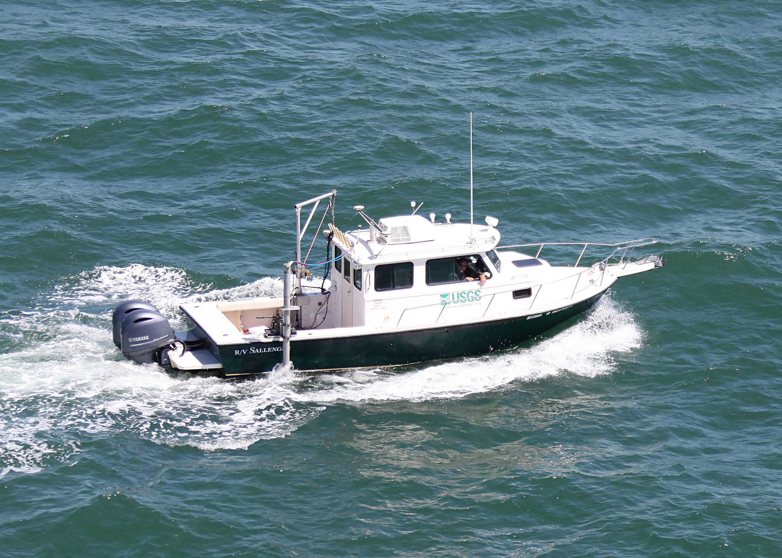
 Sallenger |
DeWitt, N.T., Farmer, A.S., Flocks, J.G., Hapke, C.J., 2020, Multibeam bathymetry data collected in 2018 offshore of Cedar Key, Florida: U.S. Geological Survey data release, https://doi.org/10.5066/P9ZIZFSM.
| Survey Equipment | Survey Info | Data Type(s) | Data Collected |
|---|---|---|---|
| Collapsible Tripod | --- | Benchmarks Navigation Profiles Transects | No data was collected |
| Multibeam Bathymetry System | --- | Multibeam | Cedar_Key_MBB_2018_xyz.zip (The 1-meter multibeam bathymetry point data in WGS84 [G1762] UTM Zone 17N and ellipsoid height (.xyz)) |
| Along Track Reef Imaging System (ATRIS) - Shallow | --- | Surveys (biological) Photo Video Navigation Profiles | |
| Applanix POS-MV DGPS/IMU | --- | Navigation | |
| Ashtech ProFlex 800 GNSS Receiver | --- | Benchmarks Navigation | |
| Choke Ring Antenna | --- | Benchmarks Navigation | No data was collected |
| Bubble Pulser | --- | Bubble Gun | |
| Bubble Pulser Hydrophone Streamer | --- | Bubble Gun |