AKA: none
Other ID: none
Status: Completed
Organization(s): USGS, Pacific Coastal and Marine Science Center
Funding Program(s): Coastal and marine earthquake, tsunami, and landslide active margin field studies (ZP00EQV)
Principal Investigator(s): Jared Kluesner
Affiliate Investigator(s): Nathan Bangs, UTIG
Information Specialist(s): Jared Kluesner
Data Type(s): Location-Elevation: Navigation, Seismics: Air Gun / Water Gun, Sonar: Multibeam
Scientific Purpose/Goals: Collect 3D seismic data along the Hikurangi trench for subduction zone science.
Vehicle(s): None
Start Port/Location: Tauranga, Zew Zealand
End Port/Location: Napier, New Zealand
Start Date: 2018-01-06
End Date: 2018-02-09
Equipment Used: navigation, Other, Other
Information to be Derived: 3D image of the subduction margin and megathrust fault zone.
Summary of Activity and Data Gathered: USGS will NOT be the primary repository for data.
Staff: Joel Edwards
Affiliate Staff:
Notes: USGS scientist Jared Kluesner participating on NSF/Academia-led 3D seismic on the R/V Langseth, offshore New Zealand
Location:
Hikurangi Trench, offshore New Zealnd
| Boundaries | |||
|---|---|---|---|
| North: -38.50357938 | South: -39.42362625 | West: 178.21472368 | East: 179.74185817 |
Platform(s):
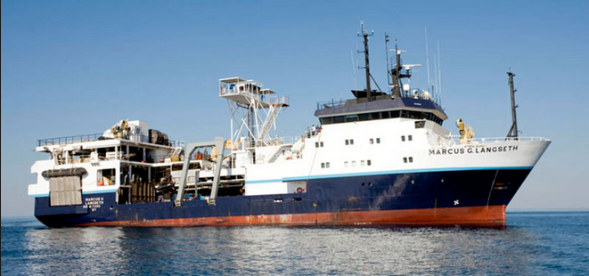 Marcus G. Langseth |
| Survey Equipment | Survey Info | Data Type(s) | Data Collected |
|---|---|---|---|
| navigation | --- | Navigation | |
| Other | --- | --- | --- |
| Other | --- | --- | --- |
