AKA: none
Other ID: none
Status: Completed
Organization(s): USGS, Pacific Coastal and Marine Science Center
Funding Program(s): Tsunami Hazards, Modeling, and the Sedimentary Record (ZP00ES5)
Principal Investigator(s): SeanPaul La Selle
Affiliate Investigator(s):
Information Specialist(s): SeanPaul La Selle
Data Type(s): Location-Elevation: Navigation, Sampling: Geology
Scientific Purpose/Goals: To collect cores and determine the paleo tsunami and earthquake history in Floras Lake, OR
Vehicle(s): Sonata Hybrid G10-6192P, MarFac; Ford 650 Box truck - White G71-03559
Start Port/Location: Port Orford, OR
End Port/Location: Port Orford, OR
Start Date: 2018-09-18
End Date: 2018-09-25
Equipment Used: Garmin, anchorsamplegrab, Peat Auger, Vibracore
Information to be Derived: Grain size, radiocarbon ages, foraminifera and diatom assemblages, thickness and distribution of tsunami deposits
Summary of Activity and Data Gathered: Collected 18 vibracores in Floras Lake totaling approximately 100 m length of sediment in pipe. 3 core sites in marshes on the south end of the lake were described and sampled. Anchor sample grabs were used to collect samples of the surface of the lake bed at 21 sites.
Staff: Daniel Powers
Affiliate Staff:
Notes: Hadai vibracore, gouge core and surface samples
GPS: handheld Garmin devices
Entries for this field activity are based on entries from Field Activity 2017-670-FA
Location:
Floras Lake, OR
| Boundaries | |||
|---|---|---|---|
| North: 43.00665567 | South: 42.79689269 | West: -124.65499878 | East: -124.34265137 |
Platform(s):
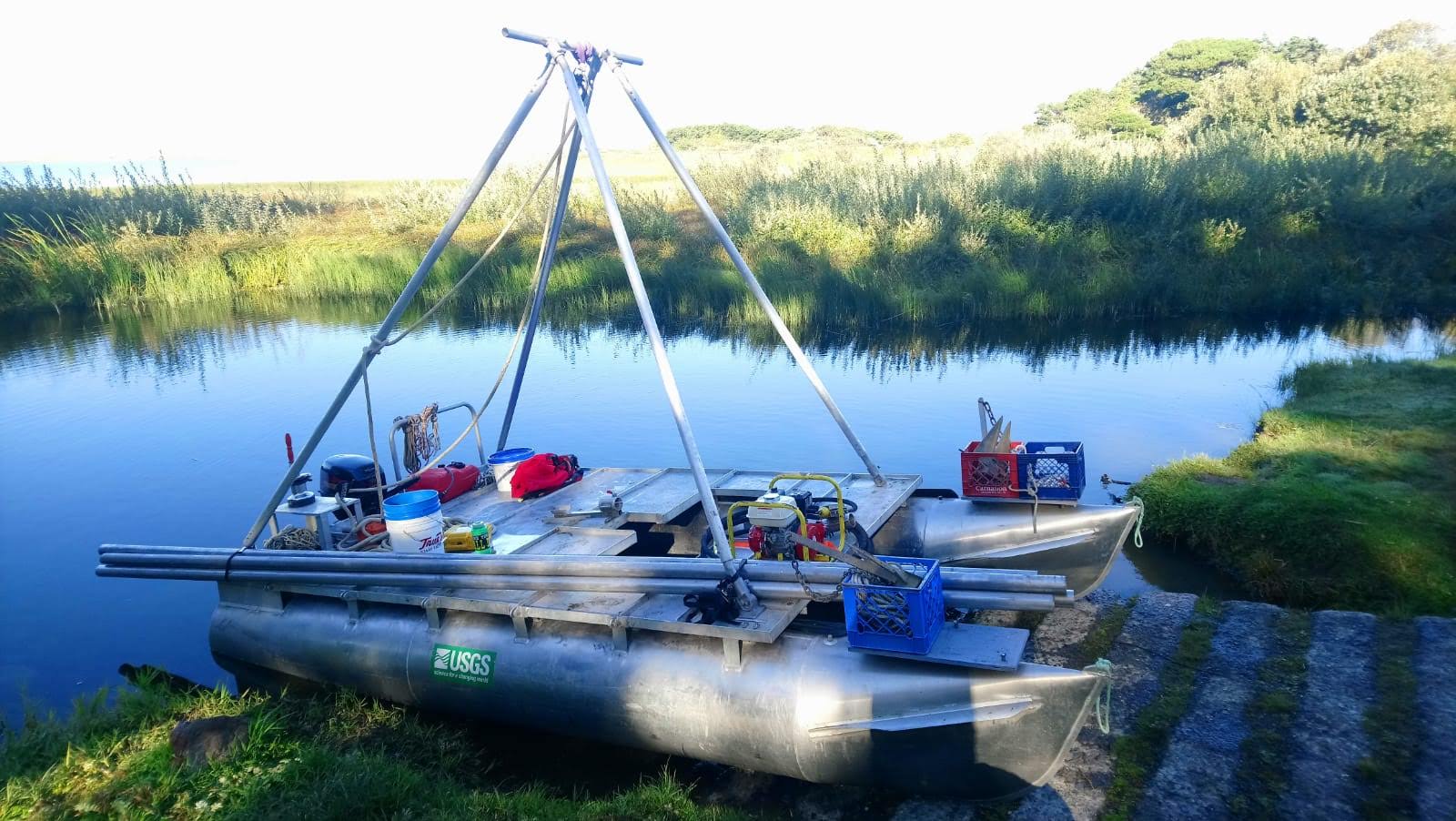 Hadai | 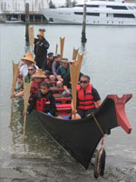 Canoe |  on foot |
| Survey Equipment | Survey Info | Data Type(s) | Data Collected |
|---|---|---|---|
| Garmin | --- | Navigation | |
| anchorsamplegrab | --- | Geology | |
| Peat Auger | --- | Geology | |
| Vibracore | --- | Chemistry Geology |
