AKA: none
Other ID: none
Status: Completed
Organization(s): USGS, Pacific Coastal and Marine Science Center
Funding Program(s): Sediment Transport in Coastal Environments (ZP00FDB)
Principal Investigator(s): Rachel Allen
Affiliate Investigator(s): Daniel Livsey (USGS Sacramento)
Information Specialist(s): Rachel Allen
Data Type(s): Location-Elevation: Navigation, Time Series: Mooring (physical oceanography)
Scientific Purpose/Goals: measure flocculated particle size
Vehicle(s):
Start Port/Location: Alviso Slough, CA
End Port/Location: Alviso Slough, CA
Start Date: 2018-09-25
End Date: 2018-09-25
Equipment Used: instrumentmooring, Handheld GPS
Information to be Derived: particle size
Summary of Activity and Data Gathered: collected ~10 LISST data sets on the bridge piling and via the Old River vessel
Staff: Rachel Allen
Affiliate Staff:
Notes: Measuring device on instrument mooring was Laser In-Situ Scattering and Transmissometry (LISST) instrument
Location:
South San Francisco Bay, California
| Boundaries | |||
|---|---|---|---|
| North: 37.52540618 | South: 37.49350349 | West: -122.13303369 | East: -122.09283005 |
Platform(s):
 Boat | 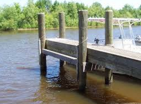 Piling |
| Survey Equipment | Survey Info | Data Type(s) | Data Collected |
|---|---|---|---|
| instrumentmooring | --- | Geology Mooring (physical oceanography) | |
| Handheld GPS | used to get a GPS point at the bridge pier | Navigation |
