AKA: none
Other ID: none
Status: Completed
Organization(s): Other
Funding Program(s): Other (Other)
Principal Investigator(s): SeanPaul La Selle
Affiliate Investigator(s): Brian Sherrod (USGS)
Information Specialist(s): SeanPaul La Selle
Data Type(s): Location-Elevation: Navigation, Sampling: Geology
Scientific Purpose/Goals: To collect cores of sediments retained behind the Searsville Lake Dam for earthquake and ecological studies.
Vehicle(s): Dodge Caravan - G41-2395R, MarFac; Ford 650 Box truck - White G71-03559
Start Port/Location: Stanford, California
End Port/Location: Stanford, California
Start Date: 2018-10-29
End Date: 2018-10-30
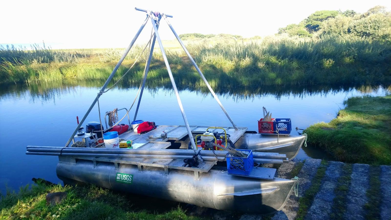
Equipment Used: Handheld GPS, Gravity Core, Vibracore
Information to be Derived: Core imagery, CT scans, XRF, pollen
Summary of Activity and Data Gathered: 2018-682-FA sample inventory data submitted to FAD by SeanPaul LaSelle 11/2/2018
Staff:
Affiliate Staff:
Notes: Brian Sherrod (USGS Earthquake Hazards Program) is PI. The working halves of core JBR2018-VC01A is stored in the PCMSC cold room, the archive half of this core and 3 other unsplit vibracores + 3 gravity cores are being kept in a cold room at Stanford.
Location:
Jasper Ridge Biological Reserve, Stanford, California, United States
| Boundaries | |||
|---|---|---|---|
| North: 37.40878075 | South: 37.40090752 | West: -122.24153033 | East: -122.23223298 |
Platform(s):
 Hadai |
La Selle, S.M., Stegner, M.A., Nasr, B.M., Hadly, E.A., Barnosky, A.D., and Sherrod, B., 2023, Computed Tomography (CT) scans, photographs, X-ray Fluorescence (XRF) scans, grain size, and gamma-ray bulk density data of vibracores from Searsville Lake, Jasper Ridge Biological Preserve, Stanford, California: U.S. Geological Survey data release, https://doi.org/10.5066/P98CEB1B.
| Survey Equipment | Survey Info | Data Type(s) | Data Collected |
|---|---|---|---|
| Handheld GPS | --- | Navigation | |
| Gravity Core | --- | Geology | |
| Vibracore | --- | Chemistry Geology | Core locations, segment depths, and estimated compaction from vibracores (This portion of the data release presents measurements and data from two vibracores (JRBP2018-VC01A and JRBP2018-VC01B).) Sediment grain-size distributions from vibracores (This portion of the data release presents sediment grain-size data from vibracores. In total, 36 samples were subsampled from two vibracores: JRBP2018-VC01A and JRBP2018-VC01B. The grain-size distributions of samples were determined using standard techniques developed by the USGS Pacific Coastal and Marine Science Center sediment lab.) Computed Tomography (CT) scans of vibracores (This portion of the data release presents computed tomography (CT) images from vibracores.) Photographs of vibracores (This portion of the data release presents linescan images (photographs) from vibracores. Images were obtained from two vibracores (JRBP2018-VC01A and JRBP2018-VC01B) at 50-micron (200 pixel per cm) resolution. Color images in 16-bit TIFF format are provided for each core segment, along with proprietary metadata files containing image scaling information.) Gamma-ray bulk density measurements of vibracore JRBP2018-VC01B (This portion of the data release presents gamma-ray bulk density measurements of vibracore JRBP2018-VC01B.) X-ray Fluorescence (XRF) scans of vibracores (This portion of the data release presents X-ray Flourescence (XRF) data from vibracores. The XRF data are provided in comma-delimited files (.csv), one per core.) |
