Other ID: none
Status: Completed
Organization(s): USGS, Woods Hole Coastal and Marine Science Center
Funding Program(s): CMHRP Program Office Operational Costs (GY00ET2SZ00)
Principal Investigator(s): Nathaniel Miller
Affiliate Investigator(s):
Information Specialist(s): William Danforth
Data Type(s): Location-Elevation: Navigation, Sonar: Multibeam
Scientific Purpose/Goals: main objective of this cruise is to recover the 30 OBSs that were deployed in July 2018.
Vehicle(s):
Start Port/Location: Kodiak, AK
End Port/Location: Kodiak, AK
Start Date: 2019-08-25
End Date: 2019-09-12
Equipment Used: EM122 12 kHz multibeam, POS-MV
Information to be Derived: Seafloor bathymetry
Summary of Activity and Data Gathered: Recovered 30 OBS instruments and collected 2000 line-km of EM122 12 kHz multibeam data
Staff: William Danforth
Affiliate Staff:
Notes:
Location:
Gulf of Alaska
| Boundaries | |||
|---|---|---|---|
| North: 58.00809779 | South: 52.53627304 | West: -165.36621094 | East: -148.75488281 |
Platform(s):
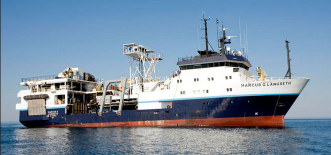 Marcus G. Langseth |
| Survey Equipment | Survey Info | Data Type(s) | Data Collected |
|---|---|---|---|
| EM122 12 kHz multibeam | We collected 2000 line-km of 12 kHz multibeam echo sounder data using the ship's hull mounted Simrad EM122. | Multibeam | |
| POS-MV | Collect XX megabytes of POS-MV data | Navigation |
