Other ID: none
Status: Completed
Organization(s): USGS, St. Petersburg Coastal and Marine Science Center
Funding Program(s): Tampa Bay Estuary Program - TBEP (GR.23.MN00.TN166.00)
Principal Investigator(s): Christopher Moore
Affiliate Investigator(s): Kimberly Yates
Information Specialist(s): Christopher Moore
Data Type(s): Sampling: Chemistry
Scientific Purpose/Goals: Collect CO2 Parameters in Tampa Bay rivers
Vehicle(s): Ford F-350 Dually White (GSA)
Start Port/Location: Williams Park Boat Ramp Riverview Florida
End Port/Location: Williams Park Boat Ramp Riverview Florida
Start Date: 2019-03-16
End Date: 2019-03-18
Equipment Used: Water Sampler
Information to be Derived: pH and CO2 system parameters
Summary of Activity and Data Gathered: Sampling the Alafia River for pH and CO2 system parameters
Staff: Christopher Moore
Affiliate Staff:
Notes: Operations will be performed with volunteers from FWRI.
Location:
Manatee, Little Manatee, Alafia, and Hillsborough River
| Boundaries | |||
|---|---|---|---|
| North: 28.18824364 | South: 27.25462958 | West: -83.3203125 | East: -82.35351563 |
Platform(s):
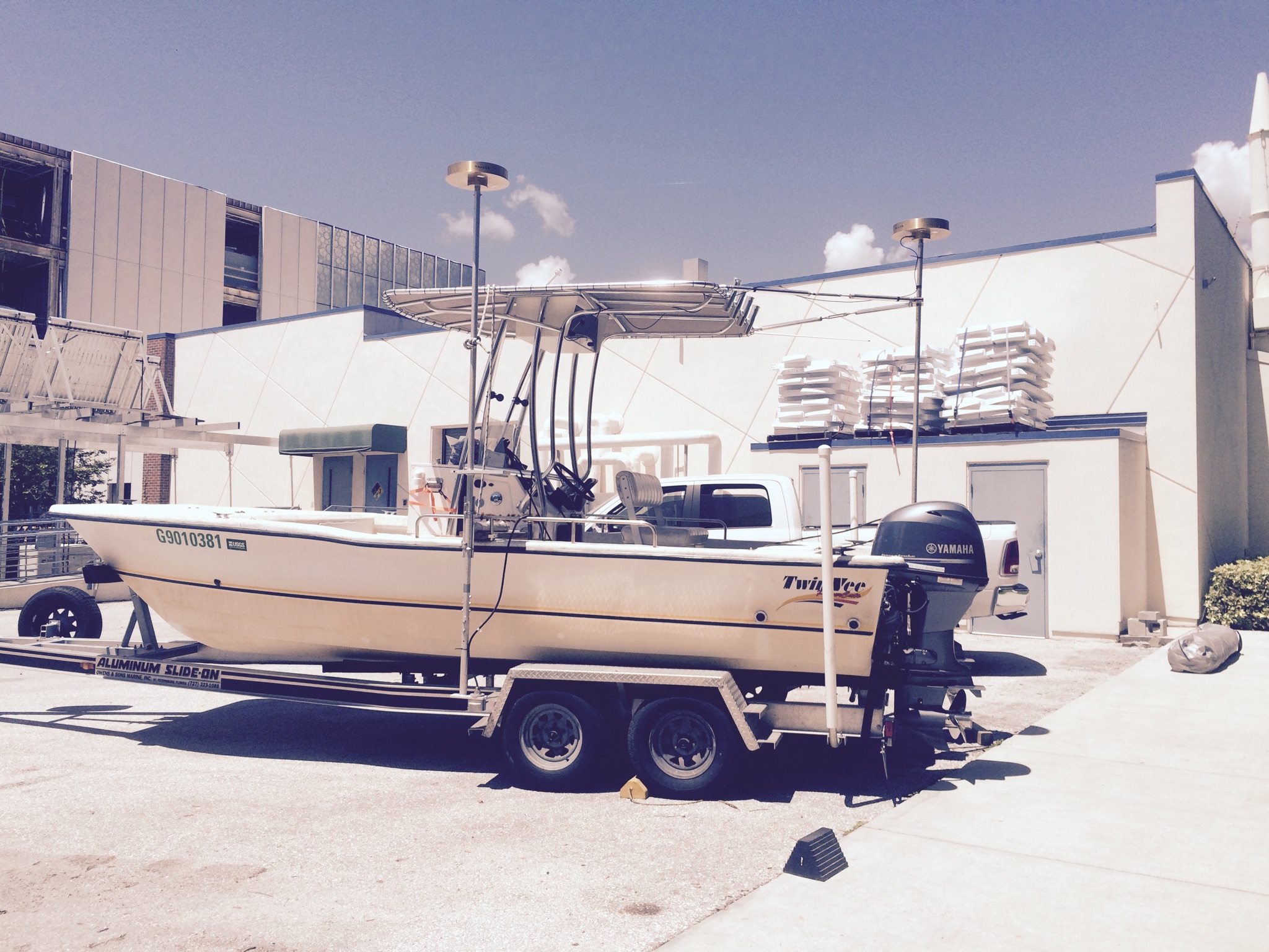
 22-ft Twin Vee (R/V G. Hill) |
Yates, K.K., Moore, C.S., Goldstein, N.H., Sherwood, E.T., 2019, Tampa Bay Ocean and Coastal Acidification Monitoring Quality Assurance Project Plan: U.S. Geological Survey Open-File Report 2019-1003, https://doi.org/10.3133/ofr20191003.
| Survey Equipment | Survey Info | Data Type(s) | Data Collected |
|---|---|---|---|
| Water Sampler | pumps water without coming in contact with it. | Chemistry | No data was collected |