Other ID: none
Status: Completed
Organization(s): USGS, St. Petersburg Coastal and Marine Science Center
Funding Program(s): St. Petersburg Science Center Marine Operations (GX.24.MN00.0AZMO.00)
Principal Investigator(s): Christopher Smith, Kathryn Smith
Affiliate Investigator(s):
Information Specialist(s): Joseph Fredericks
Data Type(s): Location-Elevation: Navigation, Sonar: Multibeam, Sonar: Single Beam
Scientific Purpose/Goals: Collect multibeam bathymetry along the marsh edge. Collect singlebeam bathymetry perpendicular to shore.
Vehicle(s): Ford F-250 Stone Grey
Start Port/Location: Saint Petersburg, FL
End Port/Location: Moss Point, MS
Start Date: 2019-05-06
End Date: 2019-05-11
Equipment Used: Applanix POS-MV DGPS/IMU, Ashtech ProFlex 800 GNSS Receiver, ODOM-Echotrac CV-100, Multibeam Bathymetry System
Information to be Derived: Shoreline positions, bathymetry
Summary of Activity and Data Gathered: Collected alongshore multibeam for select areas and shore perpendicular multibeam and single beam for select areas
Staff: Joseph Fredericks, Hunter Wilcox
Affiliate Staff:
Notes: Entries for this field activity are based on entries from Field Activity 2018-358-FA
Location:
Grand Bay National Estuary Research Reserve, Mississippi and Alabama, United States, Gulf of America (Gulf of Mexico)
| Boundaries | |||
|---|---|---|---|
| North: 30.44181901 | South: 30.30899023 | West: -88.49138541 | East: -88.34690909 |
Platform(s):
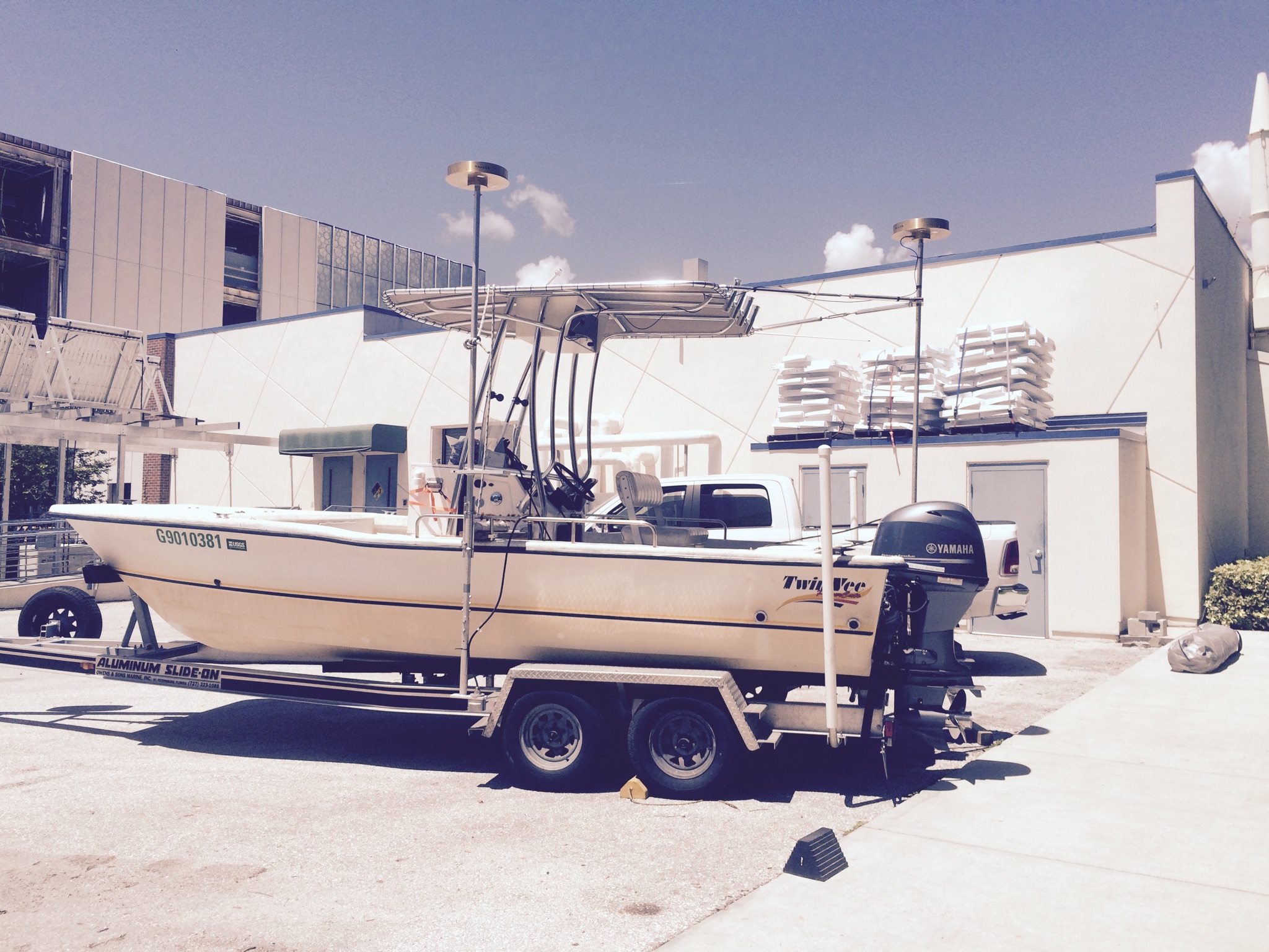
 22-ft Twin Vee (R/V G. Hill) |
Stalk, C.A., Fredericks, J.J., Smith, C.G., Smith, K.E.L., 2020, Multibeam bathymetry data collected in 2019 from Grand Bay and Point Aux Chenes Bay Alabama/Mississippi : U.S. Geological Survey data release, https://doi.org/10.5066/P9WYP8BW.
| Survey Equipment | Survey Info | Data Type(s) | Data Collected |
|---|---|---|---|
| Applanix POS-MV DGPS/IMU | --- | Navigation | |
| Ashtech ProFlex 800 GNSS Receiver | --- | Benchmarks Navigation | |
| ODOM-Echotrac CV-100 | --- | Single Beam | |
| Multibeam Bathymetry System | --- | Multibeam | Grand_Bay_2019_MBES_xyz.zip (Processed elevation point data from both sensor configurations as derived from a 1-meter grid provided in WGS84 and NAD83, NAVD88 GEOID 12A) |