Other ID: none
Status: Completed
Organization(s): USGS, St. Petersburg Coastal and Marine Science Center
Funding Program(s): Coastal Sediment Availability and Flux - CSAF (GX.26.MN00.M0Y60.00)
Principal Investigator(s): Jennifer Miselis
Affiliate Investigator(s):
Information Specialist(s): Andrew Farmer, Arnell Forde, Chelsea Stalk
Data Type(s): Seismics: Sub Bottom Profiler, Sonar: Multibeam, Sonar: Single Beam, Sonar: Sound Velocity
Scientific Purpose/Goals: Geophysical shoreface mapping offshore of Cedar Island, VA.
Vehicle(s):
Start Port/Location: Wachapreague, VA
End Port/Location: Wachapreague, VA
Start Date: 2019-08-07
End Date: 2019-08-20
Equipment Used: Chirp 512i, Multibeam Bathymetry System, Castaway-CTD, ODOM-Echotrac CV-100
Information to be Derived: Seafloor depth, seafloor texture, Holocene stratigraphy.
Summary of Activity and Data Gathered: Collected 64 CHIRP/SBB lines (all planned lines completed) as well as 138 MBB lines; nearly full coverage, except in extreme nearshore waters.
Staff: Nancy DeWitt, Andrew Farmer, Chelsea Stalk, Lance Thornton
Affiliate Staff:
Notes: Assigned Processor: Chelsea Stalk
Completion deadline May 2020
Location:
Cedar Island, VA, United States, Atlantic Ocean
| Boundaries | |||
|---|---|---|---|
| North: 37.69243582 | South: 37.5780712 | West: -75.64318389 | East: -75.55571705 |
Platform(s):
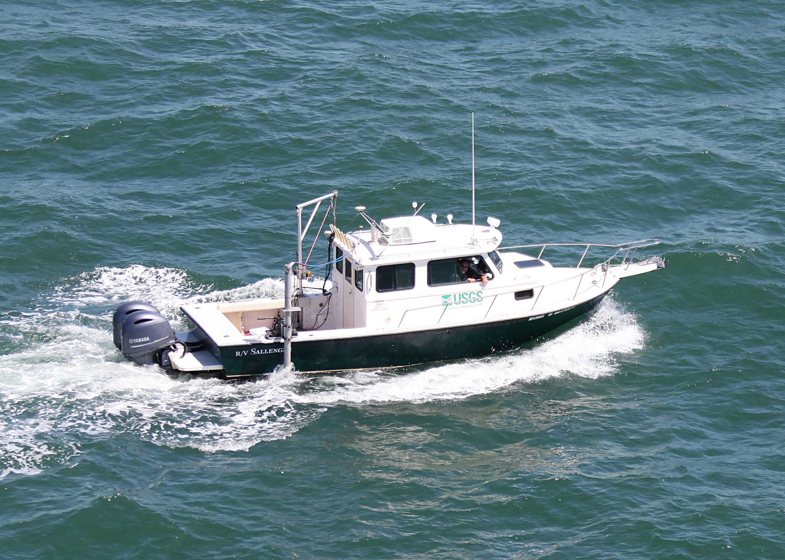
 Sallenger |
Forde, A.S., Stalk, C.A., Miselis, J.L., 2020, Archive of chirp subbottom profile data collected in 2019 From Cedar Island, Virginia: U.S. Geological Survey data release, https://doi.org/10.5066/P9S75Q0U.
Stalk, C.A., Farmer, A.S., Miselis, J.L., Fredericks, J.J., 2020, Coastal bathymetry and backscatter data collected in August 2019 from Cedar Island, Virginia: U.S. Geological Survey data release, https://doi.org/10.5066/P927Q8M1.
| Title | Survey Equipment | Description |
|---|---|---|
| 2019-332-FA_logs | (document not focused on specific equipment) | Field Activity Collection System (FACS) logs, acquisition geometry, and geophysical operations log |
| Survey Equipment | Survey Info | Data Type(s) | Data Collected |
|---|---|---|---|
| Chirp 512i | --- | Sub Bottom Profiler | 2019-332-FA_segy (Digital chirp subbottom trace data) 2019-332-FA_nav (Navigation data) 2019-332-FA_gis (Geospatial data) 2019-332-FA_seisimag (Processed subbottom profile images) |
| Multibeam Bathymetry System | --- | Multibeam | Cedar_Island_2019_MBES_xyz.zip (Processed elevation point data (xyz) as derived from a 1-meter grid provided in both WGS84 (G1762) ellipsoid height and NAD83 NAVD88 orthometric height using GEIOD12B ) Cedar_Island_2019_MBES_Backscatter.zip (Processed acoustic intensity backscatter mosaic, derived from the 1-meter grid, provided as a 32-bit float GeoTIFF in WGS84 (G1762)) |
| Castaway-CTD | --- | Sound Velocity | |
| ODOM-Echotrac CV-100 | --- | Single Beam | Cedar_Island_2019_SBES_Tracklines.zip (Single-beam bathymetry tracklines in WGS84 (G1762)) Cedar_Island_2019_SBES_xyz.zip (Single-beam bathymetry xyz data in both WGS84 (G1762) ellipsoid height and NAD83 NAVD88 orthometric height using GEOID12B) |