Other ID: 19CCT05, 19CCT06, 19CCT07
Status: Completed
Organization(s): USGS, St. Petersburg Coastal and Marine Science Center
Funding Program(s): Coastal Sediment Availability and Flux - CSAF (GX.26.MN00.M0Y60.00)
Principal Investigator(s): Jennifer Miselis
Affiliate Investigator(s):
Information Specialist(s): Julie Bernier, Nancy DeWitt, Chelsea Stalk
Data Type(s): Location-Elevation: Navigation, Seismics: Sub Bottom Profiler, Sonar: Multibeam, Sonar: Single Beam, Sonar: Sound Velocity
Scientific Purpose/Goals: Geophysical shoreface mapping in support of beach and dune monitoring
Vehicle(s): Chevy Suburban Silver, Ford F-250 Stone Grey, Ford F-350 Dually Grey (GSA)
Start Port/Location: Rockaway Beach, NY
End Port/Location: Rockaway Beach, NY
Start Date: 2019-09-24
End Date: 2019-10-14
Equipment Used: SP90 GNSS Receiver, Other, Chirp 512i, ODOM-Echotrac CV-100, SBG Ellipse A Motion Sensor, Multibeam Bathymetry System, Castaway-CTD, Valeport MiniSVS, Valeport SVP
Information to be Derived: Seafloor depth, seafloor texture, Holocene stratigraphy
Summary of Activity and Data Gathered: Multibeam bathymetry (total area collected 109.06 square kilometers, 133 lines), subbottom profiles (74 lines), singlebeam bathymetry (399.76 line-km, 240 lines) and 49 sound velocity casts were collected for this survey.
Staff: Julie Bernier, Daniel Ciarletta, Nancy DeWitt, Andrew Farmer, Billy Reynolds, Chelsea Stalk, Hunter Wilcox
Affiliate Staff:
Notes: Additional Staff: Emily Wei
SubFANs:
R/V Shark SBB = 19CCT05
R/V Chum SBB = 19CCT06
Sled = 19CCT07
(R/V Sallenger MBB and seismic will use the main FAN)
2019-333-FA multibeam bathymetry acquisition was split into 2 separate survey efforts, leg 1 (October 4-6, 2019) and Leg 2 (October 24-29, 2019).
Location:
Rockaway Beach, NY, United States, Atlantic Ocean
| Boundaries | |||
|---|---|---|---|
| North: 40.61196925 | South: 40.53099105 | West: -73.95093262 | East: -73.7519449 |
Platform(s):
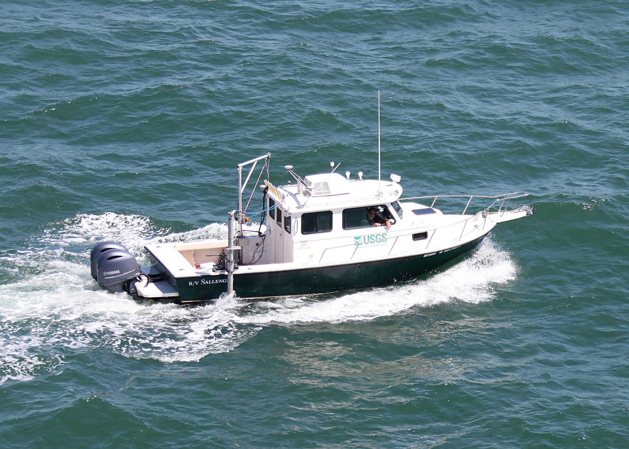
 Personal Water Craft (Blue WVR2 - Chum) |  Personal Water Craft (White WVR1 - Shark) |  Sallenger | UTV Trailer |
Buster, N.A., Miselis, J.L., Wei, E.A., Forde, A.S., 2025, Assessment of Active Sand Volumes at Rockaway Beach and Fire Island in New York and Seven Mile Island in New Jersey: U.S. Geological Survey Data Report 1211, https://doi.org/10.3133/dr1211.
Forde, A.S., Wei, E.A., DeWitt, N.T., Miselis, J.L., 2021, Archive of chirp subbottom profile data collected in 2019 from Rockaway Peninsula, New York: U.S. Geological Survey data release, https://doi.org/10.5066/P9ZO8QKJ.
Stalk, C.A., DeWitt, N.T., Wei, E., Farmer, A.S., Miselis, J.L., Fredericks, J.J., 2020, Coastal bathymetry and backscatter data collected in September and October 2019 from Rockaway Peninsula, New York: U.S. Geological Survey data release, https://doi.org/10.5066/P9WNJSFN.
Wei, E., Miselis, J., 2022, Geologic Framework, Anthropogenic Impacts, and Hydrodynamics Contribute to Variable Sediment Availability and Shoreface Morphology at the Rockaway Peninsula, NY: Journal of Marine Science and Engineering, Jmse, v. 10 no. 7, 989 p., doi: 10.3390/jmse10070989.
Wei, E.A., Miselis, J.L., Forde, A.S., 2021, Shoreface and Holocene sediment thickness offshore of Rockaway Peninsula, New York: U.S. Geological Survey Open-File Report 2021-1100, 14 p., https://doi.org/10.3133/ofr20211100.
| Survey Equipment | Survey Info | Data Type(s) | Data Collected |
|---|---|---|---|
| SP90 GNSS Receiver | --- | Benchmarks Navigation | 2019-333-FA_nav.zip (Navigation data for the entire survey, 1000-shot-interval locations, and start of lines (.csv) ) 2019-333-FA_logs.zip (Field Activity Collection System (FACS) logs, acquisition geometry, and geophysical operations log) |
| Other | --- | --- | --- |
| Chirp 512i | --- | Sub Bottom Profiler | 2019-333-FA_segy.zip (Digital chirp subbottom trace data (.sgy) ) 2019-333-FA_seisimag.zip (Processed subbottom profile images (.gif) ) 2019-333-FA_gis.zip (Geospatial files representing the subbottom profile location data) |
| ODOM-Echotrac CV-100 | --- | Single Beam | Rockaway_2019_SBES_xyz (Single-beam bathymetry xyz data in both WGS84 (G1762) ellipsoid and NAD83 NAVD88 GEOID12B) |
| SBG Ellipse A Motion Sensor | --- | Single Beam | Rockaway_2019_SBES_Tracklines (Single-beam bathymetry tracklines in WGS84 (G1762)) |
| Multibeam Bathymetry System | --- | Multibeam | Rockaway_2019_MBES_Leg1_Backscatter (Processed acoustic intensity backscatter mosaic, derived from the 1-meter grid, provided as an 8-point GeoTIFF in WGS84 (G1762) ellipsoid) Rockaway_2019_MBES_Leg2_xyz (Processed elevation point data (xyz) as derived from a 1-meter grid provided in WGS84 (G1762) ellipsoid and NAD83 NAVD88 GEOID12B) Rockaway_2019_MBES_Leg2_Backscatter (Processed acoustic intensity backscatter mosaic, derived from the 1-meter grid, provided as a 32-bit float GeoTIFF in WGS84 (G1762) ellipsoid) Rockaway_2019_MBES_Leg1_xyz (Processed elevation point data (xyz) as derived from a 1-meter grid provided in both WGS84 (G1762) ellipsoid and NAD83 NAVD88 GEOID12B) |
| Castaway-CTD | --- | Sound Velocity | |
| Valeport MiniSVS | --- | Sound Velocity | |
| Valeport SVP | --- | Sound Velocity |