AKA: Lake Ozette 2019
Other ID: none
Status: Completed
Organization(s): USGS, Pacific Coastal and Marine Science Center
Funding Program(s): Coastal and marine earthquake, tsunami, and landslide active margin field studies (ZP00EQV)
Principal Investigator(s): Daniel Brothers
Affiliate Investigator(s): Brian Sherrod (USGS EHP)
Information Specialist(s): Alicia Balster-gee, Daniel Brothers, Andrew Ritchie
Data Type(s): Location-Elevation: Navigation, Sampling: Geology, Seismics: Boomer, Seismics: Sub Bottom Profiler, Sonar: Interferometric, Sonar: Sound Velocity
Scientific Purpose/Goals: Geophysical mapping and geological sampling of Lake Ozette to investigate earthquake triggered mass transport deposits (Cascadia recurrence project)
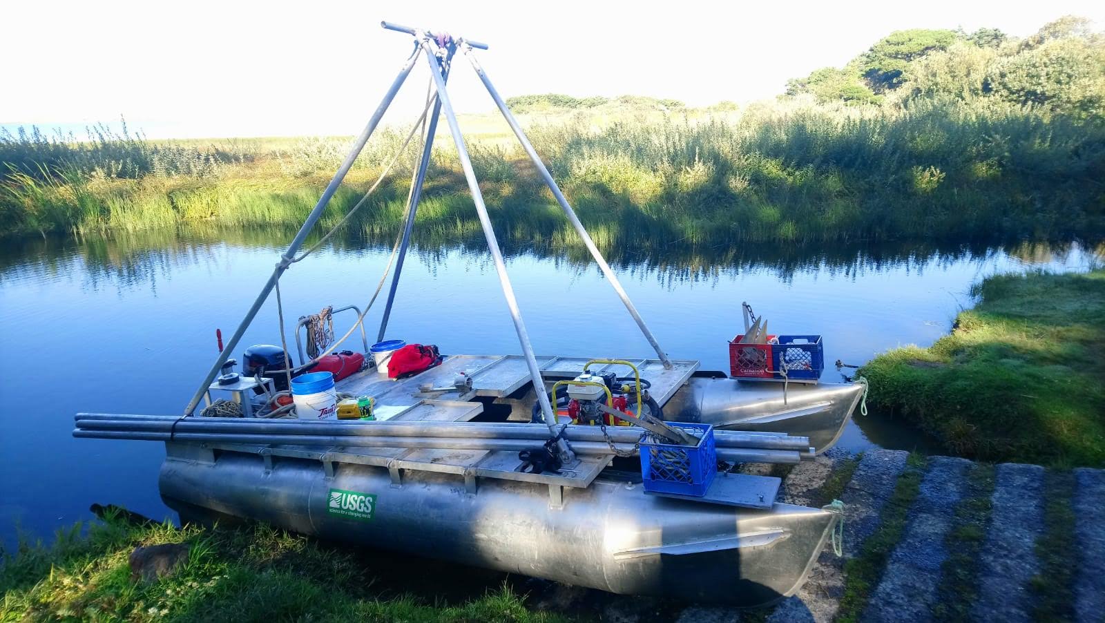
Vehicle(s): MarFac; Ford 650 Box truck - White G71-03559
Start Port/Location: Santa Cruz, CA
End Port/Location: Santa Cruz, CA
Start Date: 2019-07-14
End Date: 2019-08-03
Equipment Used: boomer, 512 chirp, Differential GPS, Gravity Core, Vibracore, 512 chirp-source, Other, SWATH plus-M , AML SV Plus, AML SV Plus #2
Information to be Derived: bathymetry, subbottom, core samples
Summary of Activity and Data Gathered: 34 boomer and 94 chirp subbottom profiles were collected in Lake Ozette. High resolution bathymetry and 50 cores were collected from Lake Ozette. 93 chirp profiles were collected in Lake Crescent.
Staff: Jackson Currie, Peter Dal Ferro, Daniel Powers
Affiliate Staff:
Notes: 3-weeks of fieldwork on site, plus equipment transit from Santa Cruz. All USGS personnel will be staying in an NPS lodge near the lake. Will possibly collect subbottom profiles in Lake Crescent if there is leftover time.
Location:
Lake Ozette, WA
| Boundaries | |||
|---|---|---|---|
| North: 48.36970733 | South: 47.26513552 | West: -125.21907806 | East: -123.31054688 |
Platform(s):
 Hadai |
Balster-Gee, A.F., Brothers, D.S., Sherrod, B., Ritchie, A.C., and Dal Ferro, P., 2024, Chirp sub-bottom data collected in Lake Crescent, Washington during USGS field activity 2019-622-FA: U.S. Geological Survey data release, https://doi.org/10.5066/P9DR46DI.
Brothers, D.S., Sherrod, B.L., Singleton, D.M., Padgett, J.S., Hill, J.C., Ritchie, A.C., Kluesner, J.W., Dartnell, P., 2024, Post-glacial stratigraphy and late Holocene record of great Cascadia earthquakes in Ozette Lake, Washington, USA: Geosphere, Geosphere, , doi: 10.1130/Ges02713.1.
Dartnell, P., Brothers, D.S., Ritchie, A.C., Sherrod, B., Currie, J.E., Dal Ferro, P., and Powers, D.C., 2024, Bathymetry and acoustic-backscatter data for Ozette Lake, Washington collected during USGS field activity 2019-622-FA: U.S. Geological Survey data release, https://doi.org/10.5066/P9U91FSB.
Snyder, G.R., Balster-Gee, A.F., Brothers, D.S., Singleton, D.M., Padgett, J.S., Hill, J.C., Ritchie, A.C., La Selle, S.M., Kluesner, J.W., Sherrod, B., Powers, D.C., Dal Ferro, P., and Currie, J.E., 2024, Seismic sub-bottom, sediment core and radiocarbon data collected in Ozette Lake, Washington, from 2019-2021: U.S. Geological Survey data release, https://doi.org/10.5066/P9W5RAL4.
| Survey Equipment | Survey Info | Data Type(s) | Data Collected |
|---|---|---|---|
| boomer | --- | Boomer | Boomer seismic-reflection and navigation data collected in Ozette Lake, Washington, in 2019. (Boomer seismic-reflection data and associated navigation files were collected in Ozette Lake, Washington, in 2019 for use in regional earthquake hazard assessments relating the Cascadia Subduction Zone.) |
| 512 chirp | --- | Sub Bottom Profiler | Chirp sub-bottom data collected in Lake Crescent, Washington during USGS field activity 2019-622-FA (Chirp sub-bottom data were collected by the U.S. Geological Survey in August of 2019 in Lake Crescent, Washington.) Chirp sub-bottom data (Chirp seismic reflection data and associated navigation files were collected in Ozette Lake, Washington, in 2019 for use in regional earthquake hazard assessments relating the Cascadia Subduction Zone. Dataset includes both raw and processed chirp data.) |
| Differential GPS | --- | Navigation | |
| Gravity Core | --- | Geology | Gravity core photoscans (Photoscans of gravity cores.) |
| Vibracore | --- | Chemistry Geology | Multi-sensor core logger data (Tabular results from multi-sensor core logger data (MSCL).) X-ray fluorescence data (Tabular results from X-ray fluorescence (XRF) sensor.) Vibracore photoscans (Photoscans of vibracores.) Radiocarbon data (Tabular results from radiocarbon analysis of vibracores.) Radiocarbon photos (Annotated photos from radiocarbon analysis of vibracores.) |
| 512 chirp-source | --- | Sub Bottom Profiler | |
| Other | --- | --- | --- |
| SWATH plus-M | --- | Interferometric | Acoustic-backscatter data for Ozette Lake, Washington (2-m resolution acoustic-backscatter data were collected during a July 2019 SWATHPlus survey of Ozette Lake, Washington) Bathymetry data for Ozette Lake, Washington (Bathymetry data were collected during a July 2019 SWATHPlus survey of Ozette Lake, Washington) |
| AML SV Plus | --- | Sound Velocity | |
| AML SV Plus #2 | --- | Sound Velocity |
