AKA: Searsville coring 2020
Other ID: none
Status: Completed
Organization(s): Other
Funding Program(s): Other (Other)
Principal Investigator(s): SeanPaul La Selle
Affiliate Investigator(s): Brian Sherrod (USGS)
Information Specialist(s): Brandon (Contractor) Nasr
Data Type(s): Location-Elevation: Navigation, Sampling: Geology
Scientific Purpose/Goals: To collect cores of sediments retained behind the Searsville Lake Dam and in Upper Lake for earthquake and ecological studies.
Vehicle(s): MarFac; Crysler G12-0254S, MarFac; Ford 650 Box truck - White G71-03559
Start Port/Location: Stanford, California
End Port/Location: Stanford, California
Start Date: 2020-02-18
End Date: 2020-02-21
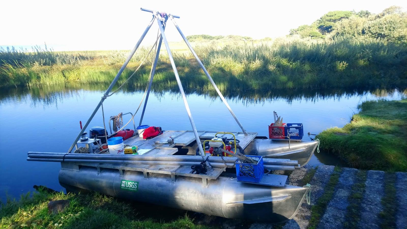
Equipment Used: Handheld GPS, Vibracore
Information to be Derived: Core imagery, CT scans, XRF, bulk density
Summary of Activity and Data Gathered: Collecting three vibracores in Searsville Lake and two vibracores in the marsh near Upper Lake.
Staff:
Affiliate Staff:
Notes: Brian Sherrod (USGS Earthquake Hazards Program) is PI. The working halves of collected cores will be stored in the PCMSC cold room, the archive halves will be kept in a cold room at Stanford.
Entries for this field activity are based on entries from Field Activity 2018-682-FA
Location:
Jasper Ridge Biological Reserve, Stanford, California, United States
| Boundaries | |||
|---|---|---|---|
| North: 37.40769865 | South: 37.39880088 | West: -122.24753371 | East: -122.23496046 |
Platform(s):
 Hadai |
| Survey Equipment | Survey Info | Data Type(s) | Data Collected |
|---|---|---|---|
| Handheld GPS | --- | Navigation | |
| Vibracore | --- | Chemistry Geology |
