Other ID: none
Status: Completed
Organization(s): USGS, Woods Hole Coastal and Marine Science Center, Woods Hole Oceanographic Institution
Funding Program(s): Subduction Zone Marine GeoHaz (LQ00ENR10)
Principal Investigator(s): Nathaniel Miller
Affiliate Investigator(s): Pablo Canales (WHOI), Suzanne Carbotte (LDEO)
Information Specialist(s): William Danforth
Data Type(s): Sonar: Multibeam, Seismics: Sub Bottom Profiler, Seismics: Multichannel
Scientific Purpose/Goals: Multichannel seismic aquistion and seismic source for on-bottom recording to image structures and velocities of the Cascadia submarine forearc.
Vehicle(s):
Start Port/Location: Newport, OR
End Port/Location: Ketchikan , AK
Start Date: 2021-06-01
End Date: 2021-07-10
Equipment Used: EM122 12 kHz multibeam, Knudsen 3260, Multichannel seismics
Information to be Derived: Seismic reflection images, seismic velocities, bathymetry and backscatter
Summary of Activity and Data Gathered: The cruise happened, but we did not have any USGS staff (Bill wasn't able to make it) or assets on the cruise. So, there is 0 data that we collected/processed/control/etc from that cruise. We also provided $0 of direct funding to that effort. All data and docs from that cruise will be archived in the MGDS and R2R under Langseth cruise MGL2104.
Staff: William Danforth
Affiliate Staff:
Notes: Funding project is GR20LQ00ENR10
Entries for this field activity are based on entries from Field Activity 2020-018-FA (which was canceled due to COVID). The overtime account and other information will probably need to be updated.
Location:
Cascadia
| Boundaries | |||
|---|---|---|---|
| North: 51.83577752 | South: 39.77476949 | West: -131.484375 | East: -123.75 |
Platform(s):
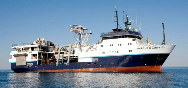 Marcus G. Langseth |
| Survey Equipment | Survey Info | Data Type(s) | Data Collected |
|---|---|---|---|
| EM122 12 kHz multibeam | --- | Multibeam | |
| Knudsen 3260 | --- | Sub Bottom Profiler | |
| Multichannel seismics | --- | Multichannel |
