Other ID: none
Status: Completed
Organization(s): USGS, Woods Hole Coastal and Marine Science Center
Funding Program(s): Next-Generation Total Water Level and Coastal Change Forecast (WH) (MN00U03)
Principal Investigator(s): Christopher Sherwood
Affiliate Investigator(s): Jennifer Brown (SPCMSC) Peter Traykovski (WHOI) Patrick Dickhudt (USACE) Katherine Anarde (NCSU) Ryan Mieras (UNCW) Laura Moore (UNC)
Information Specialist(s): Olivia De Meo, Steven Suttles
Data Type(s): Sampling: Geology, Time Series: Mooring (physical oceanography)
Scientific Purpose/Goals: We propose to deploy a bottom landing frame in the nearshore off of Pea Island NWR to collect detailed waves and current data in conjunction with hydrodynamic measurements in a cross-shore array spanning the nearshore and beach/dune, topo-bathy survey data, throughout the storm and recovery period(s) during hurricane season. Observations from this site will provide insight into cross-shore storm processes and impacts, including wave transformation and shoreline water levels, rapid changes in coastal elevations, on/offshore sediment exchanges, and resulting habitat changes. These detailed measurements will provide a more complete understanding of storm impacts and recovery on natural beach/dune systems, which will allow us to validate and improve forecasts of water levels, coastal change, and habitat.
Vehicle(s):
Start Port/Location: Beaufort, NC
End Port/Location: Beaufort, NC
Start Date: 2021-08-29
End Date: 2021-09-05
Equipment Used: Bottom platform, shipek grab (WH)
Information to be Derived: Waves, currents, pressure, water level, meteorology, sediment grain size.
Summary of Activity and Data Gathered: Deployed 9/2/2021. Six sediment samples collected. Nanopod on bottom @ 11:34 UTC. CTD cast. Recovered 11/2/2021. CTD cast. Size sediment samples collected. Couldn't communicate with release. Sent in divers. Nanopod on deck @ 17:40 UTC.
Staff: Alexander Olson, Robert Bales
Affiliate Staff:
Notes: R/V Shearwater for this work is out of the Duke Marine Lab in Beaufort, NC, not a NOAA vessel.
Grab sampler used is a new Shipek owned by WHCMSC.
Entries for this field activity are based on entries from Field Activity 2021-028-FA.
Location:
Pea Island National Wildlife Refuge, Hatteras Island, North Carolina, United States, Atlantic Ocean
| Boundaries | |||
|---|---|---|---|
| North: 35.68086 | South: 35.67481 | West: -75.48928 | East: -75.46864 |
Platform(s):
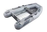 Achilles inflatable | 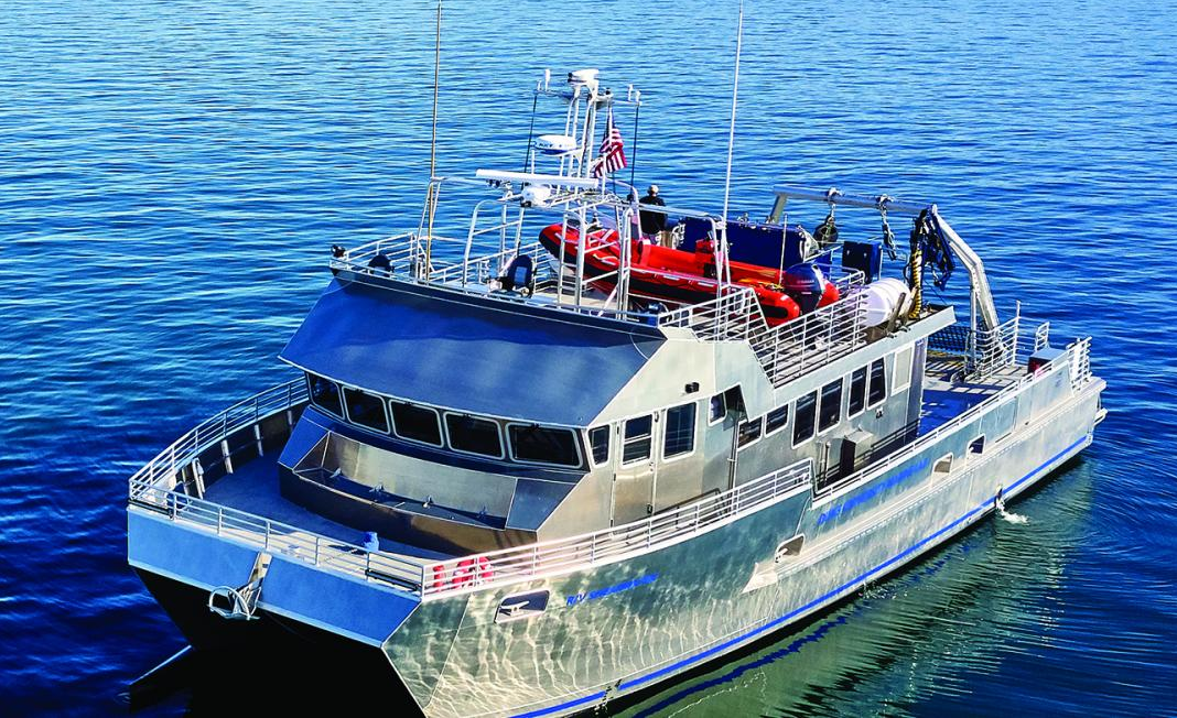 Shearwater (Duke University) |
Bales, R.D., Over, J.R., Sherwood, C.R., Olson, A.J., Randall, N.R., and Suttles, S.E., 2024, Grain-size analysis data of sediment samples from the beach and nearshore environments at the Pea Island National Wildlife Refuge DUNEX site, North Carolina in 2021: U.S. Geological Survey data release, https://doi.org/10.5066/P9O21FQI.
| Survey Equipment | Survey Info | Data Type(s) | Data Collected |
|---|---|---|---|
| Bottom platform | --- | Mooring (physical oceanography) | |
| shipek grab (WH) | --- | Geology |
