Other ID: none
Status: Completed
Organization(s): USGS, Pacific Coastal and Marine Science Center, USGS, St. Petersburg Coastal and Marine Science Center
Funding Program(s):
Principal Investigator(s): Kimberly Yates, David Zawada
Affiliate Investigator(s): Jon Warrick (PCMSC)
Information Specialist(s): Christine Kranenburg
Data Type(s): Imagery: Photo, Location-Elevation: Navigation
Scientific Purpose/Goals: SQUID-5 mapping in wider Looe Key, FL area in collaboration with EPIC project, PCMSC staff, and Mote Marine staff. Objectives are to map Mote's coral outplant sites, important elevation change areas, and test additional SQUID-5 capabilities.
Vehicle(s):
Start Port/Location: St Petersburg, Florida
End Port/Location: St Petersburg, Florida
Start Date: 2021-07-11
End Date: 2021-07-31
Equipment Used: SQUID-5
Information to be Derived: Imagery for Structure-from-Motion processing to produce digital elevation models of the targeted areas.
Summary of Activity and Data Gathered: Field work was successfully completed. See data release https://cmgds.marine.usgs.gov/data-releases/datarelease/10.5066-P9WSF09G/
Staff: Zachery Fehr, Christine Kranenburg, Mitchell Lemon, Hunter Wilcox, Kimberly Yates, David Zawada
Affiliate Staff:
Notes: This is a joint field activity between the Santa Cruz and St. Petersburg USGS offices, as well as Mote Marine Laboratory.
Entries for this field activity are based on entries from Field Activity 2019-630-FA
Location:
Looe Key, Big Pine Key, Florida
| Boundaries | |||
|---|---|---|---|
| North: 24.63203815 | South: 24.53463083 | West: -81.45126343 | East: -81.27685444 |
Platform(s):
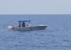
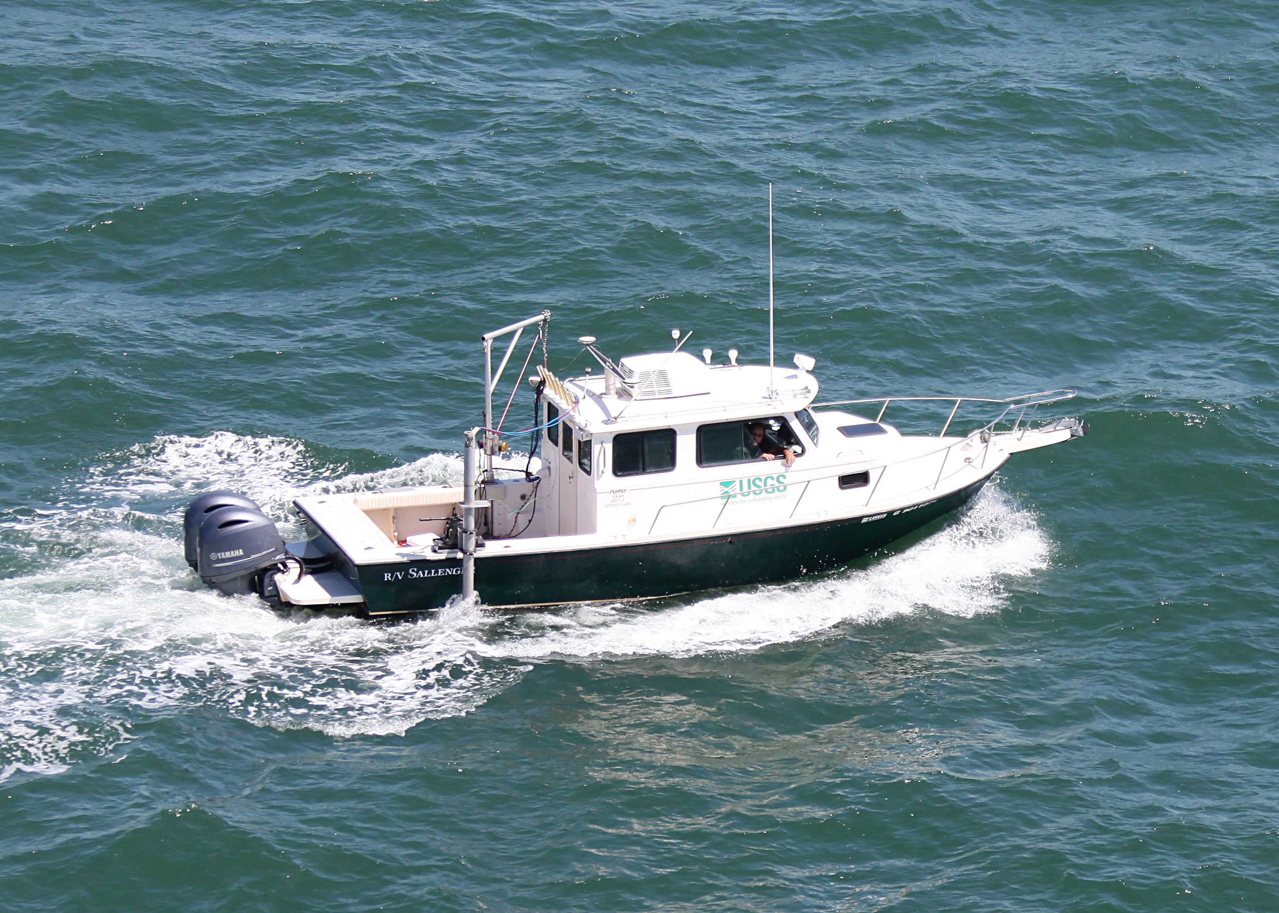
 Halimeda |  Sallenger |
Hatcher, G.A., Kranenbug, C.J., Warrick, J.A., Bosse, S.T., Zawada, D.G., Yates, K.K., and Johnson, S.A., 2022, Overlapping seabed images and location data acquired using the SQUID-5 system at Looe Key, Florida, in July 2021, with structure-from-motion derived point cloud, digital elevation model and orthomosaic of submerged topography: U.S. Geological Survey data release, https://doi.org/10.5066/P9WSF09G.
Hatcher, G.A., Kranenbug, C.J., Warrick, J.A., Bosse, S.T., Zawada, D.G., Yates, K.K., Johnson, S.A., 2024, Underwater photogrammetry products of Big Pine Ledge from images acquired using the SQUID-5 system in July 2021: U.S. Geological Survey data release, http://doi.org/10.5066/P9R47TWT.
| Survey Equipment | Survey Info | Data Type(s) | Data Collected |
|---|---|---|---|
| SQUID-5 | --- | Photo | Digital elevation model (DEM) of Looe Key, Florida, 2021 (A digital elevation model (DEM) was created from underwater images collected at Looe Key, Florida, in July 2021 using the SQUID-5 camera system. The underwater images were processed using Structure-from-Motion (SfM) photogrammetry techniques into a classified two-class ('unclassified' and 'low noise') 3D point cloud. The DEM was created in Metashape (ver. 1.6.6) from the point cloud, and includes points from both classes. The DEM covers a rectangular area of seafloor approximately 720x100 meters (0.072 square kilometers) in size and was saved as a tiled GeoTIFF raster at 1-centimeter resolution.) GNSS locations of seabed images collected at Looe Key, Florida, 2021 (The text file "SQUID5_LKR_2021_Image_Locations.txt" provides the GNSS antenna location for underwater images collected at Looe Key, Florida, in July 2021, using the SQUID5 Structure-from-Motion (SfM) system, a towed-surface vehicle with five downward-looking underwater cameras developed by the U.S. Geological Survey. The GNSS antenna location for the time of each image capture is presented with greater precision than is stored in the individual image EXIF headers due to decimal place limitations of the EXIF format.) Orthoimagery of Looe Key, Florida, 2021 (A seabed orthoimage was developed from underwater images collected at Looe Key, Florida, in July 2021 using the SQUID-5 camera system. The underwater images were processed using Structure-from-Motion (SfM) photogrammetry techniques. The orthoimage covers a rectangular area of seafloor approximately 720x100 meters (0.072 square kilometers) in size. It was created using image-mosaicking methods and saved as a tiled GeoTIFF raster at 5-millimeter resolution.) Point cloud data of Looe Key, Florida, 2021 (A three-dimensional point cloud (LAZ format) was developed from underwater images collected at Looe Key, Florida, in July 2021 using the SQUID-5 camera system and processed using Structure-from-Motion (SfM) photogrammetry techniques. Point cloud data include x,y,z positions, and RGB colors derived from the color-corrected imagery. LAS (and its compressed form, LAZ) is an open format developed for the efficient use of point cloud lidar data.) Overlapping seabed images collected at Looe Key, Florida, 2021 (A total of 94,567 underwater images were collected at Looe Key, Florida, in July 2021, using the SQUID5 Structure-from-Motion (SfM) system, a towed-surface vehicle with five downward-looking underwater cameras developed by the U.S. Geological Survey. The images are organized in zipped files grouped by survey line. The SQUID-5 records images in the Tagged Image File Format format to maintain the highest resolution and bit depth. Each image includes Exchangeable Image File (EXIF) metadata, containing Global navigation satellite system (GNSS) date, time, latitude, longitude, and altitude of the GNSS antenna mounted on the towed surface vehicle, copyright, keywords, and other fields.) |