Other ID: none
Status: Completed
Organization(s): USGS, St. Petersburg Coastal and Marine Science Center
Funding Program(s): Gulf Island National Seashore - GINS Sediment Budget (GX.24.MN00.M1B30.00)
Principal Investigator(s): James Flocks
Affiliate Investigator(s):
Information Specialist(s): Arnell Forde
Data Type(s): Seismics: Sub Bottom Profiler, Sonar: Single Beam, Sonar: Sound Velocity
Scientific Purpose/Goals: Investigate nearshore geologic controls and surface morphology.
Vehicle(s): Ford F-350 Dually Grey (GSA)
Start Port/Location: Pensacola, Florida
End Port/Location: Pensacola, Florida
Start Date: 2021-06-02
End Date: 2021-06-09
Equipment Used: Chirp 216, ODOM-Echotrac CV-100, Castaway-CTD
Information to be Derived: Holocene stratigraphy
Summary of Activity and Data Gathered: 95 sub-bottom profile lines were collected, 91 were processed.
Staff: Nancy DeWitt, Joseph Fredericks
Affiliate Staff:
Notes: Chirp 216 is being rented from Echo81, which is located in Hartwell, GA.
Location:
Santa Rosa Island, Florida
| Boundaries | |||
|---|---|---|---|
| North: 30.47486376 | South: 30.28753159 | West: -87.41928513 | East: -86.72332843 |
Platform(s):
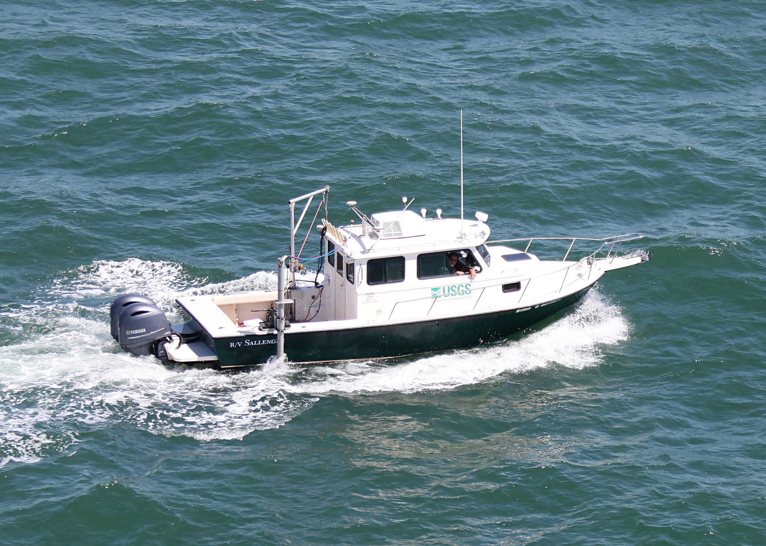
 Sallenger |
Forde, A.S., DeWitt, N.T., and Flocks, J.G., 2022, Archive of chirp subbottom profile and single-beam bathymetry data collected in 2021 from Santa Rosa Island, Florida: U.S. Geological Survey data release, https://doi.org/10.5066/P9VRSD9J.
| Survey Equipment | Survey Info | Data Type(s) | Data Collected |
|---|---|---|---|
| Chirp 216 | --- | Sub Bottom Profiler | 2021-322-FA_segy.zip (Digital chirp subbottom trace data) 2021-322-FA_nav.zip (Navigation data for the entire survey, 1000-shot-interval locations, and start of line locations) 2021-322-FA_seisimag.zip (Processed subbottom profile images) 2021-322-FA_gis.zip (Geospatial files representing the subbottom profile location data ) Santa_Rosa_Island_2021_SBES_xyz.zip (Single-beam bathymetry xyz data in both WGS84 (G1762) ellipsoid and NAD83 NAVD88 GEOID12A) |
| ODOM-Echotrac CV-100 | --- | Single Beam | |
| Castaway-CTD | --- | Sound Velocity |