AKA: none
Other ID: none
Status: Completed
Organization(s): USGS, Pacific Coastal and Marine Science Center
Funding Program(s): Tsunami Hazards, Modeling, and the Sedimentary Record (ZP00ES5)
Principal Investigator(s): SeanPaul La Selle
Affiliate Investigator(s): Bruce Jaffe
Information Specialist(s): Brandon (Contractor) Nasr
Data Type(s): Sampling: Geology
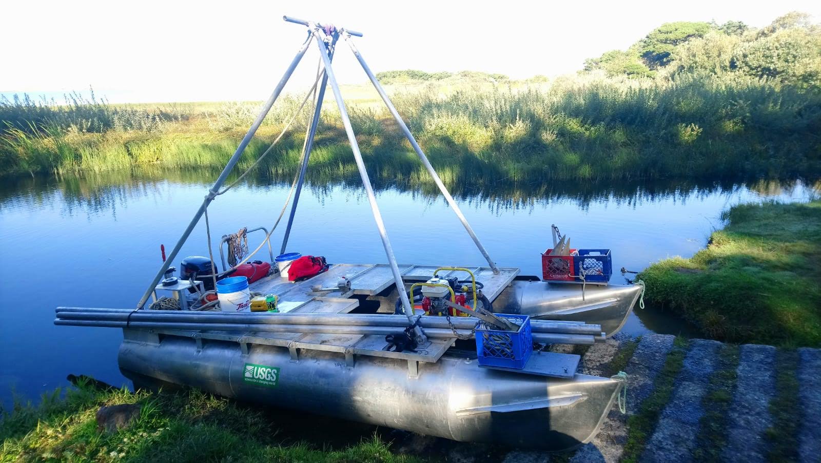
Scientific Purpose/Goals: To collect vibracores from coastal lakes to find the record of paleo-tsunamis along the Cascadia Subduction Zone.
Vehicle(s): None
Start Port/Location: Port Orford, Oregon
End Port/Location: Port Orford, Oregon
Start Date: 2021-09-18
End Date: 2021-09-26
Equipment Used: Vibracore
Information to be Derived: Radiocarbon age dates, grain size, diatom analysis
Summary of Activity and Data Gathered: 16 vibracores were collected and 12 surface samples collected.
Staff:
Affiliate Staff:
Notes: MARFAC: Sprinter van
Location:
Garrison Lake, Oregon, United States; Floras Lake, Oregon, United States
| Boundaries | |||
|---|---|---|---|
| North: 42.92022923 | South: 42.73818728 | West: -124.55303212 | East: -124.46513996 |
Platform(s):
 Hadai |
| Survey Equipment | Survey Info | Data Type(s) | Data Collected |
|---|---|---|---|
| Vibracore | --- | Chemistry Geology |
