Other ID: none
Status: Cancelled
Organization(s): USGS, Woods Hole Coastal and Marine Science Center, Woods Hole Oceanographic Institution
Funding Program(s): Marine Geohazards Sources and Probability (LQ00ENR)
Principal Investigator(s): Uri Ten Brink
Affiliate Investigator(s):
Information Specialist(s):
Data Type(s): Sonar: Multibeam, Seismics: Multichannel, Seismics: Sub Bottom Profiler, Seismics: Air Gun / Water Gun, Seismics: Ocean Bottom Seismometer
Scientific Purpose/Goals: Multichannel and OBS seismic study spanning the Puerto Rico Trench, Puerto Rico and Los Muertos Trough.
Vehicle(s):
Start Port/Location: San Juan, Puerto Rico
End Port/Location: San Juan, Puerto Rico
Start Date: 2022-10-15
End Date: 2022-11-25
Equipment Used:
Information to be Derived: Multichannel seismic data, OBS data, chirp seismic data, multibeam bathymetry
Summary of Activity and Data Gathered:
Staff:
Affiliate Staff:
Notes: Raw multichannel, chirp and multibeam data will be released by Lamont. WHOI will release OBS data.
Location:
Work will be conducted north and south of the island of Puerto Rico. OBS, multichannel seismic (air guns), chirp and multibeam data will be collected.
| Boundaries | |||
|---|---|---|---|
| North: 21.6982655 | South: 15.17111383 | West: -70.03418058 | East: -62.63672054 |
Platform(s):
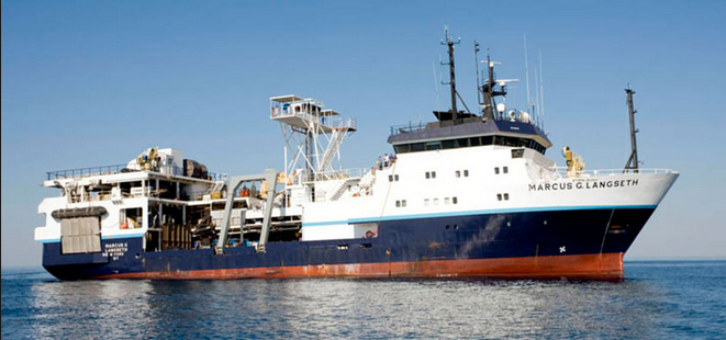 Marcus G. Langseth |
