Other ID: Seven Mile NJ Chirp 2022; 22BIM03; 22BIM04; 22BIM05
Status: Completed
Organization(s): USGS, St. Petersburg Coastal and Marine Science Center
Funding Program(s): Monitoring Hurricane Sandy Beach and Marsh Resilience in New York and New Jersey (GR.24.MN00.GSM30.00)
Principal Investigator(s): Emily Wei, Jennifer Miselis
Affiliate Investigator(s):
Information Specialist(s): Chelsea Stalk, Nancy DeWitt
Data Type(s): Sonar: Sound Velocity, Sonar: Single Beam, Seismics: Sub Bottom Profiler, Location-Elevation: Navigation, Location-Elevation: Benchmarks
Scientific Purpose/Goals: To assess barrier island and shoreface resilience after Hurricane Sandy.
Vehicle(s): Chevy Suburban Silver, Ford F-250 Stone Grey, Ford F-350 Dually Grey (GSA)
Start Port/Location: Cape May, NJ
End Port/Location: Cape May, NJ
Start Date: 2022-04-25
End Date: 2022-05-06
Equipment Used: Valeport SWiFT SVP, Castaway-CTD, ODOM-Echotrac CV-100, Chirp 512i, SP90 GNSS Receiver, Collapsible Tripod, Choke Ring Antenna
Information to be Derived: Single bathymetry, chirp subbottom geophysics, sound velocity profiles, base station GPS session
Summary of Activity and Data Gathered: The SLED collected 135.48 line-km (288 lines) and the WVR2 collected 145.46 line-km (60 lines). Data Published at: https://coastal.er.usgs.gov/data-release/doi-P9P07T3W/
Staff: Emily Wei, Chelsea Stalk, Billy Reynolds, Jennifer Miselis, Erin Lyons, Benjamin Galbraith, Andrew Farmer, Julie Bernier
Affiliate Staff:
Notes: Entries for this field activity are based on entries from Field Activity 2021-318-FA.
Three subFANs have been assigned for 2022-309-FA:
Sled - 22BIM03
RV Shark - 22BIM04
RV Chum - 22BIM05
Location:
Seven-Mile Island, New Jersey, Cape May
| Boundaries | |||
|---|---|---|---|
| North: 39.12414268 | South: 38.99902114 | West: -74.85038996 | East: -74.59277987 |
Platform(s):
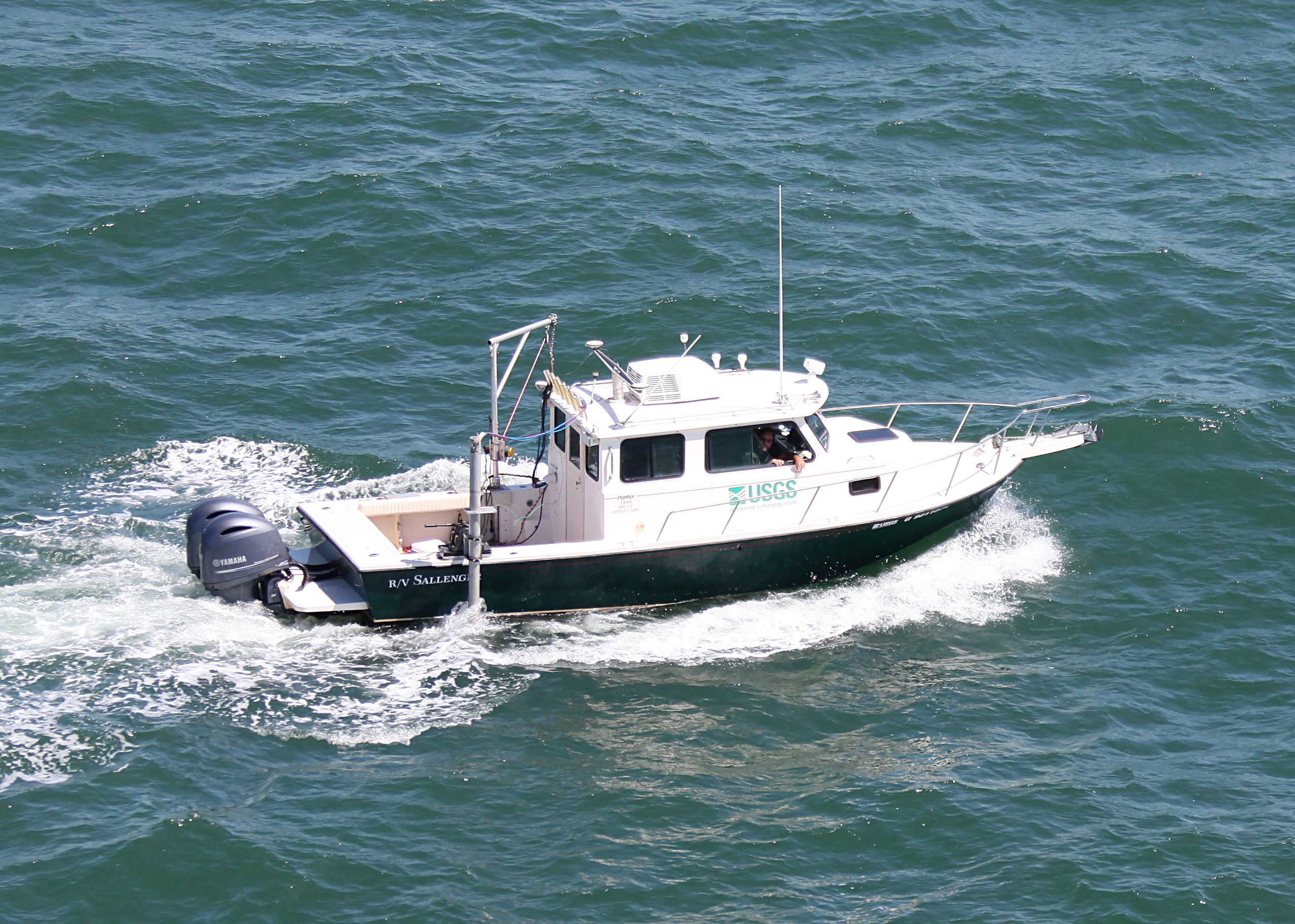
 Personal Water Craft (Blue WVR2 - Chum) |  Personal Water Craft (White WVR1 - Shark) |  Sallenger |
Buster, N.A., Miselis, J.L., Wei, E.A., Forde, A.S., 2025, Assessment of Active Sand Volumes at Rockaway Beach and Fire Island in New York and Seven Mile Island in New Jersey: U.S. Geological Survey Data Report 1211, https://doi.org/10.3133/dr1211.
Forde, A.S., DeWitt, N.T., Wei, E.A., and Miselis, J.L., 2023, Archive of Chirp Subbottom Profile Data Collected in 2022 From Seven Mile Island, New Jersey: U.S. Geological Survey data release, https://doi.org/10.5066/P9PY4RR0.
Lyons, E.O., DeWitt, N.T., Stalk, C.A., Reynolds, B.J., Farmer, A.S., Bernier, J.C. and others, 2023, Coastal Single-beam Bathymetry Data Collected in 2022 off Seven Mile Island, New Jersey: U.S. Geological Survey data release, https://doi.org/10.5066/P9P07T3W.
Wei, E.A., Miselis, J.L., Buster, N.A., Forde, A.S., 2025, Geologic Framework and Holocene Sand Thickness Offshore of Seven Mile Island, New Jersey: U.S. Geological Survey Scientific Investigations Report (2024-5131), https://doi.org/10.3133/sir20245131.
| Survey Equipment | Survey Info | Data Type(s) | Data Collected |
|---|---|---|---|
| Valeport SWiFT SVP | --- | Sound Velocity | |
| Castaway-CTD | --- | Sound Velocity | |
| ODOM-Echotrac CV-100 | --- | Single Beam | Seven_Mile_Island_2022_SBES_ WGS84_UTM18N_xyz (Single-beam bathymetry data points (xyz) in WGS84 (G2139) UTM18N ellipsoid) Seven_Mile_Island_2022_SBES_NAD83_ NAVD88_UTM18N_GEOID12B_xyz (Single-beam bathymetry data points (xyz) in NAD83 and NAVD88 (orthometric height) with respect to the GEOID18 model ) Seven_Mile_Island_2022_SBES_ WGS84_UTM18N_tracklines (Single-beam bathymetry trackline shapefile in WGS84 (G2139) UTM18N) Seven_Mile_Island_2022_SBES_NAD83_ NAVD88_UTM18N_GEOID18_xyz (Single-beam bathymetry data points (xyz) in NAD83 and NAVD88 (orthometric height) with respect to the GEOID18 model) |
| Chirp 512i | --- | Sub Bottom Profiler | 2022-309-FA_segy (Digital chirp subbottom trace data ) 2022-309-FA_seisimag (Processed subbottom profile images) 2022-309-FA_gis (Subbottom profile data location maps, geospatial files, and images) |
| SP90 GNSS Receiver | --- | Benchmarks Navigation | 2022-309-FA_nav (Navigation data for the entire survey, 1000-shot-interval locations, and start of line locations) |
| Collapsible Tripod | --- | Benchmarks Navigation Profiles Transects | |
| Choke Ring Antenna | --- | Benchmarks Navigation |