Other ID: Tyndall Reefense Chirp and MBES
Status: Completed
Organization(s): USGS, St. Petersburg Coastal and Marine Science Center
Funding Program(s): Defense Advanced Research Protection Agency (DARPA) Reefense (GR.23.MN00.M0Y21.00)
Principal Investigator(s): Emily Wei, Jennifer Miselis
Affiliate Investigator(s): Defense Advanced Research Projects Agency; US Army Corps of Engineers
Information Specialist(s): Chelsea Stalk, Arnell Forde, Emily Wei
Data Type(s): Seismics: Sub Bottom Profiler, Sonar: Sound Velocity, Sonar: Multibeam, Location-Elevation: Navigation
Scientific Purpose/Goals: Back-barrier lagoon bathymetry mapping and geologic assessment in support of efforts to construct an artificial oyster reef.
Vehicle(s): Ford F-350 Dually Grey (GSA)
Start Port/Location: Panama City, FL
End Port/Location: Panama City, FL
Start Date: 2022-06-20
End Date: 2022-07-09
Equipment Used: Chirp 216, Valeport SVP, Valeport MiniSVS, Castaway-CTD, Multibeam Bathymetry System, SP90 GNSS Receiver
Information to be Derived: Seafloor depth and chirp geophysical data
Summary of Activity and Data Gathered: Successful acquisition of sub-bottom profiles (234 lines) and (374) multibeam data.
Staff: Nancy DeWitt, Benjamin Galbraith, Andrew Farmer, Chelsea Stalk, Emily Wei
Affiliate Staff:
Notes: Entries for this field activity are based on entries from Field Activity 2019-333-FA
Entries for this field activity are based on entries from Field Activity 2021-319-FA.
Location:
Panama City, FL, United States, Gulf of America (Gulf of Mexico)
| Boundaries | |||
|---|---|---|---|
| North: 30.15676461 | South: 30.01333874 | West: -85.71780396 | East: -85.48324585 |
Platform(s):
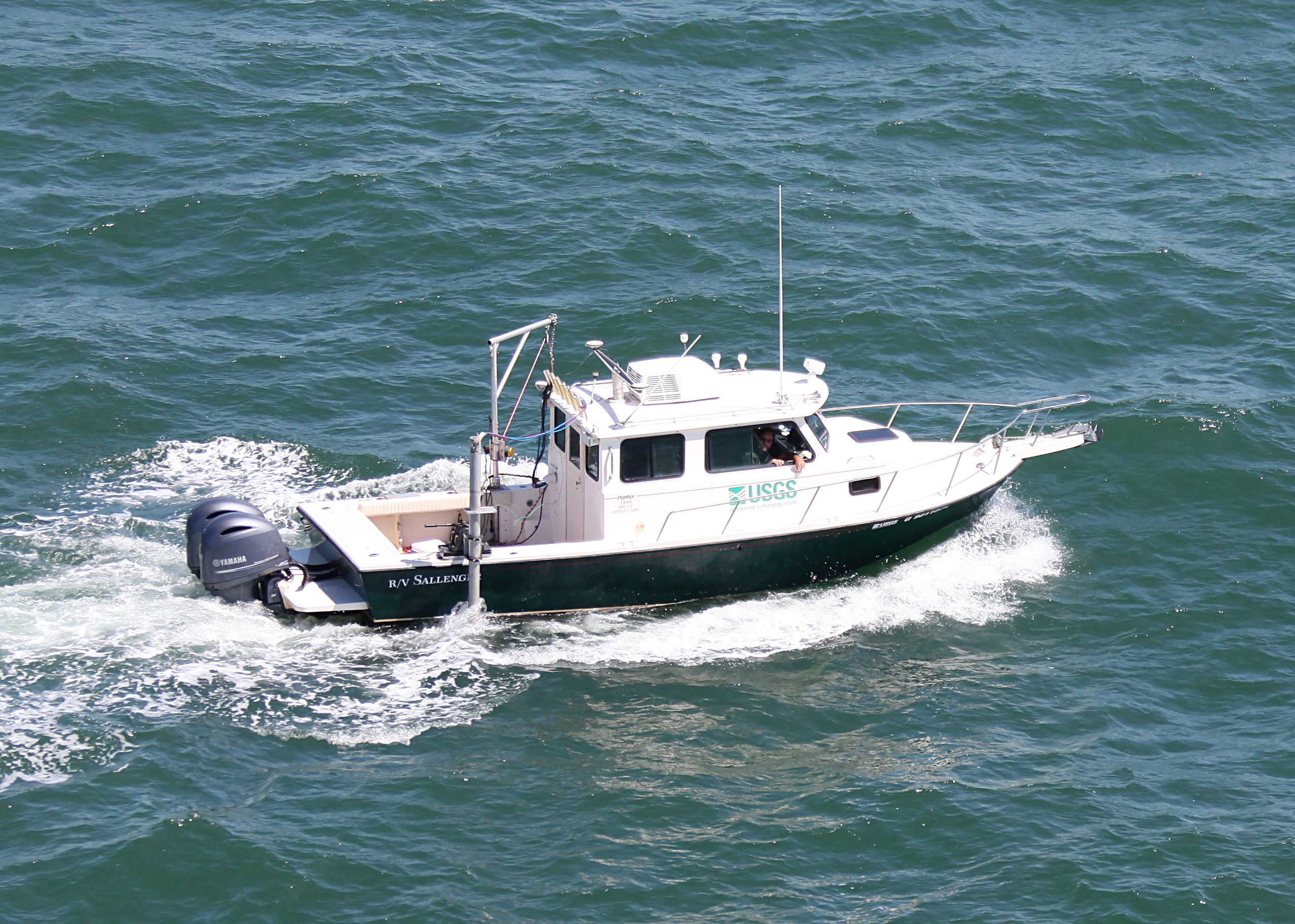
 Sallenger |
Forde, A.S., Wei, E.A., and Stalk, C.A., 2023, Archive of Chirp Subbottom Profile Data Collected in June 2022 Near Panama City, Florida: U.S. Geological Survey data release, https://doi.org/10.5066/P9YTB22D.
Stalk, C.A., Wei, E.A., and DeWitt, N.T., 2023, High-resolution Geophysical Data Collected in June 2022 Near Tyndall Air Force Base, Panama City, Florida: U.S. Geological Survey data release, https://doi.org/10.5066/P94ODZO3.
| Survey Equipment | Survey Info | Data Type(s) | Data Collected |
|---|---|---|---|
| Chirp 216 | --- | Sub Bottom Profiler | 2022-312-FA_segy (Digital chirp subbottom trace data) 2022-312-FA_seisimag (Processed subbottom profile images) 2022-312-FA_gis (Subbottom profile data location maps, geospatial files, and images) |
| Valeport SVP | --- | Sound Velocity | |
| Valeport MiniSVS | --- | Sound Velocity | |
| Castaway-CTD | --- | Sound Velocity | |
| Multibeam Bathymetry System | --- | Multibeam | Tyndall_2022_MBES_Backscatter (Processed acoustic intensity backscatter mosaic, derived from the 1-meter grid, provided as a 32-point GeoTIFF in WGS84 (G1150) ellipsoid) Tyndall_2022_MBES_xyz (Processed elevation point data (xyz) as derived from a 1-meter grid provided in both WGS84 (G1150) ellipsoid and NAD83 NAVD88 GEOID12B) |
| SP90 GNSS Receiver | --- | Benchmarks Navigation | 2022-312-FA_nav (Navigation data for the entire survey, 1000-shot-interval locations, and start of line locations) |