Other ID: DUNEX
Status: Completed
Organization(s): USGS, St. Petersburg Coastal and Marine Science Center, U.S. Army Corps of Engineers
Funding Program(s): Coastal Sediment Availability and Flux - CSAF (GX.26.MN00.M0Y60.00)
Principal Investigator(s): Jennifer Miselis
Affiliate Investigator(s): Ian Conery, U.S. Army Corps of Engineers
Information Specialist(s): Noreen Buster, Nancy DeWitt, Arnell Forde
Data Type(s): Location-Elevation: Navigation, Seismics: Sub Bottom Profiler
Scientific Purpose/Goals: Geophysical data to explore sub-seafloor changes in geology resulting from storms.
Vehicle(s): Ford F-250 Stone Grey
Start Port/Location: Duck, NC
End Port/Location: Duck, NC
Start Date: 2022-07-10
End Date: 2022-07-16
Equipment Used: Global Positioning System (GPS), Chirp 512i
Information to be Derived: Seafloor morphology (USACE); sub-seafloor geology (USGS)
Summary of Activity and Data Gathered: Successfully acquired 16 sub-bottom profile lines.
Staff:
Affiliate Staff:
Notes:
Location:
USACE, Field Research Facility
| Boundaries | |||
|---|---|---|---|
| North: 36.19026722 | South: 36.17650312 | West: -75.75321844 | East: -75.74082832 |
Platform(s):
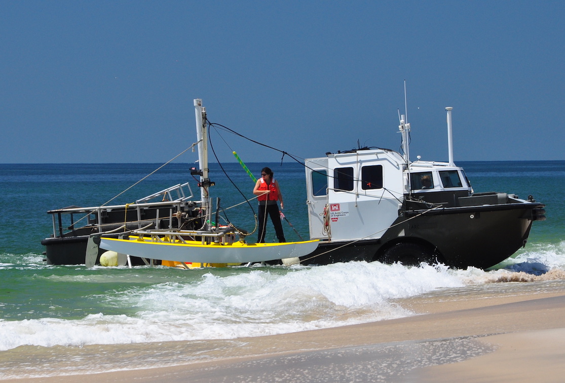
 USACE LARC-5 |
Forde, A.S., Miselis, J.L., Conery, I., DeWitt, N.T., Buster, N.A., 2024, Chirp Sub-Bottom Profile Geophysical Data Collected in 2021 and 2022 From Duck, North Carolina: U.S. Geological Survey data release, https://doi.org/10.5066/P1346BEP.
| Survey Equipment | Survey Info | Data Type(s) | Data Collected |
|---|---|---|---|
| Global Positioning System (GPS) | --- | Navigation | |
| Chirp 512i | --- | Sub Bottom Profiler |