Other ID: Boca Chica Reefense Chirp and MBES
Status: Completed
Organization(s): USGS, St. Petersburg Coastal and Marine Science Center
Funding Program(s): Defense Advanced Research Protection Agency (DARPA) Reefense (GR.23.MN00.M0Y21.00)
Principal Investigator(s): Emily Wei, Jennifer Miselis
Affiliate Investigator(s): Defense Advanced Research Projects Agency; US Army Corps of Engineers
Information Specialist(s): Arnell Forde, Chelsea Stalk, Emily Wei
Data Type(s): Imagery: Photo, Location-Elevation: Navigation, Sonar: Multibeam, Sonar: Sound Velocity, Seismics: Sub Bottom Profiler
Scientific Purpose/Goals: Bathymetry mapping and geologic assessment of the nearshore ledge off Boca Chica Key in support of efforts to construct an artificial coral reef offshore of Naval Air Station Key West.
Vehicle(s): Ford F-350 Dually Grey (GSA)
Start Port/Location: Boca Chica Key, FL
End Port/Location: Boca Chica Key, FL
Start Date: 2022-11-07
End Date: 2022-11-19
Equipment Used: Digital Camera, SP90 GNSS Receiver, Multibeam Bathymetry System, Castaway-CTD, Valeport MiniSVS, Valeport SVP, Chirp 216
Information to be Derived: Seafloor depth, chirp geophysical, and imagery data. Sediment samples to be collected in Spring 2023
Summary of Activity and Data Gathered: Acquired 53 sub-bottom profiles, 129 multi-beam bathymetry tracklines, and 25,485 seafloor images.
Staff: Benjamin Galbraith, Chelsea Stalk, Emily Wei
Affiliate Staff:
Notes: Entries for this field activity are based on entries from Field Activity 2022-312-FA.
Location:
Boca Chica Key, FL, United States, Atlantic Ocean
| Boundaries | |||
|---|---|---|---|
| North: 24.56810753 | South: 24.55118293 | West: -81.71157073 | East: -81.65966034 |
Platform(s):
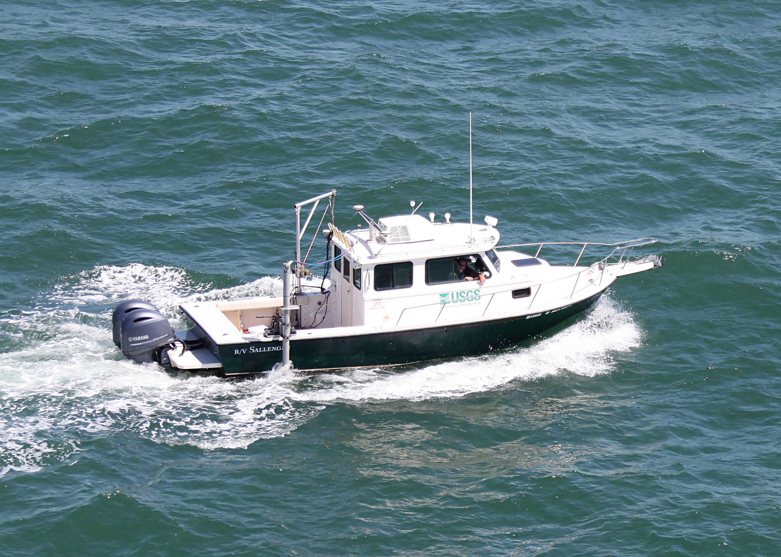
 Sallenger |
Forde, A.S., Wei, E.A., and Stalk, C.A., 2024, Archive of Chirp Subbottom Profile Data Collected in 2022 From Boca Chica Key, Florida: Dept. of the Interior, U.S. Geological Survey data release, https://doi.org/10.5066/P95M6VHT.
Stalk, C.A., Wei, E.A., Farmer, A.S., Hatcher, G.A., and Kranenburg, C.J., 2023, DELETE: U.S. Geological Survey data release, https://doi.org/10.5066/P9KNCMFY.
Stalk, C.A., Wei, E.A., Farmer, A.S., Hatcher, G.A., and Kranenburg, C.J., 2023, High-resolution Geophysical and Imagery Data Collected in November 2022 Offshore of Boca Chica Key, FL: U.S. Geological Survey data release, https://doi.org/10.5066/P9KNCMFY.
| Survey Equipment | Survey Info | Data Type(s) | Data Collected |
|---|---|---|---|
| Digital Camera | --- | Photo Video | 2022_334-FA_polecam_images (Images taken at Boca Chica Key, Florida using the polecam system, available in the CMHRP Imagery Data System (IDS)) |
| SP90 GNSS Receiver | --- | Benchmarks Navigation | 2022-334-FA_nav (Navigation data for the entire survey, 1000-shot-interval locations, and start of line locations) |
| Multibeam Bathymetry System | --- | Multibeam | BocaChica_2022_MBES_xyz (Processed elevation point data (xyz) as derived from a 1-meter grid provided in both WGS84 (G1762) ellipsoid and NAD83 NAVD88 GEOID12B) BocaChica_2022_MBES_Backscatter (Processed acoustic intensity backscatter mosaic, derived from the 1-meter grid, provided as a 32-point GeoTIFF in WGS84 (G1762) ellipsoid) |
| Castaway-CTD | --- | Sound Velocity | |
| Valeport MiniSVS | --- | Sound Velocity | |
| Valeport SVP | --- | Sound Velocity | |
| Chirp 216 | --- | Sub Bottom Profiler | 2022-334-FA_segy (Digital chirp subbottom trace data ) 2022-334-FA_gis (Subbottom profile data location maps, geospatial files, and images) 2022-334-FA_seisimag (Processed subbottom profile images ) |