AKA: none
Other ID: Cascade Lakes
Status: Completed
Organization(s): USGS, Pacific Coastal and Marine Science Center
Funding Program(s): Coastal and marine earthquake, tsunami, and landslide active margin field studies (ZP00EQV)
Principal Investigator(s): Daniel Brothers
Affiliate Investigator(s): Brian Sherrod (EHP)
Information Specialist(s): Peter Dartnell, Alicia Balster-gee
Data Type(s): Sonar: Interferometric, Seismics: Sub Bottom Profiler, Sampling: Geology
Scientific Purpose/Goals: Examine a series of lakes for records of paleo earthquake shaking; update recurrence estimates for events of shaking intensities greater than 5.5
Vehicle(s): MarFac; Ford F350 MT use only; pickup - white; G43-2784H, MarFac; Ford 650 Box truck - White G71-03559
Start Port/Location: Cle Elum
End Port/Location: Cle Elum
Start Date: 2022-06-11
End Date: 2022-07-03
Equipment Used: core, SWATH plus-M , 0.5-16 kHz receiver, 0.5-16 kHz
Information to be Derived: bathymetry, subbottom and reconaissance sediment cores
Summary of Activity and Data Gathered: Bathymetry and backscatter data archived on FAD.
Staff: Daniel Powers, Jenna Hill, Gerry Hatcher, Peter Dartnell, Peter Dal Ferro, Jackson Currie, Daniel Brothers
Affiliate Staff:
Notes:
Location:
Keechelus, Kachess, Cle Elum, Stevens lakes
| Boundaries | |||
|---|---|---|---|
| North: 48.78407749 | South: 47.19443684 | West: -122.82603264 | East: -120.31788826 |
Platform(s):
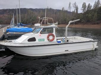 San Lorenzo |
| Survey Equipment | Survey Info | Data Type(s) | Data Collected |
|---|---|---|---|
| core | --- | Chemistry Biology Geology | |
| SWATH plus-M | --- | Interferometric | |
| 0.5-16 kHz receiver | --- | Sub Bottom Profiler | |
| 0.5-16 kHz | --- | Sub Bottom Profiler |
