AKA: none
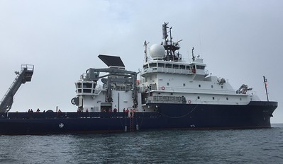
Other ID: R/V Sally Ride 2022; SR2207
Status: Completed
Organization(s): USGS, Pacific Coastal and Marine Science Center, University of California, Santa Cruz, Scripps Institution Of Oceanography, La Jolla, Ca
Funding Program(s): Coastal and marine earthquake, tsunami, and landslide active margin field studies (ZP00EQV)
Principal Investigator(s): James Conrad
Affiliate Investigator(s): Dan Orange, UC Santa Cruz
Information Specialist(s): James Conrad
Data Type(s): Sonar: Multibeam, Seismics: Sub Bottom Profiler
Scientific Purpose/Goals: To collect geophysical data in the Southern California Borderland and Santa Barbara Channel, evaluating new hull mount sub-bottom profiler
Vehicle(s): Sonata Hybrid G10-6192P
Start Port/Location: San Diego, CA
End Port/Location: San Diego, CA
Start Date: 2022-08-26
End Date: 2022-09-11
Equipment Used: subbottomprofiler
Information to be Derived: subbottom geology
Summary of Activity and Data Gathered: Cruise 2022-652-FA (Scripps Institution of Oceanography cruise ID SR2207) aboard the R/V Sally Ride took place over 16 days from Aug. 26 – Sept. 11, 2022. About 4,470 trackline-km of subbottom profiles and multibeam echosounder (MBES) data were collected. The primary goal of the cruise was to evaluate the capabilities of the new Kongsberg SBP29 subbottom profiler using a variety of techniques, including resurveying of previously collected sparker multichannel seismic and chirp profiles, imaging of seafloor pipelines and cables, maximum power operations, and acoustic tests using custom sound sources and ship-deployed moorings equipped with hydrophones. Other goals included calibration and tuning of the Sally Ride’s newly installed Kongsberg EM124 and 712 MBES systems, new neotectonic studies of several active faults, survey of glass sponge reefs in the Channel Islands National Marine Sanctuary, and an opportunity to refine stratigraphic ties to two Ocean Drilling Program core sites as well as several USGS piston- and gravity-core sites. The cruise offered the opportunity to collect higher resolution and, in some cases, new data over numerous key areas offshore southern California in support of marine geohazard research. Data were collected along active faults in San Diego Trough, San Pedro Basin, and Santa Monica Basin, submarine landslides in Santa Cruz Basin, and Santa Barbara Channel, and an area east of San Clemente Island was mapped.
Staff:
Affiliate Staff:
Notes:
Location:
Southern California, United States, Pacific Ocean
| Boundaries | |||
|---|---|---|---|
| North: 34.48844784 | South: 32.3985158 | West: -121.15670583 | East: -117.20191347 |
Platform(s):
 Sally Ride |
| Survey Equipment | Survey Info | Data Type(s) | Data Collected |
|---|---|---|---|
| subbottomprofiler | --- | Sub Bottom Profiler |
