Other ID: none
Status: Pending
Organization(s): USGS, St. Petersburg Coastal and Marine Science Center
Funding Program(s): Coastal Sediment Availability and Flux - CSAF (GX.25.MN00.M0Y60.00)
Principal Investigator(s): Emily Wei, Jennifer Miselis
Affiliate Investigator(s):
Information Specialist(s): Nancy Dewitt, Andrew Farmer, Chelsea Stalk
Data Type(s): Sampling: Geology, Sonar: Multibeam, Sonar: Sound Velocity
Scientific Purpose/Goals: To assess barrier island and shoreface resilience after Hurricane Sandy.
Vehicle(s): Ford F-350 Dually Grey (GSA)
Start Port/Location: Cape May, NJ
End Port/Location: Cape May, NJ
Start Date: 2023-05-04
End Date: 2023-05-19
Equipment Used: Multibeam Bathymetry System, Castaway-CTD
Information to be Derived: Multibeam bathymetry and backscatter
Summary of Activity and Data Gathered:
Staff: Nancy DeWitt, Andrew Farmer
Affiliate Staff:
Notes:
Location:
Seven-Mile Island, New Jersey, Cape May
| Boundaries | |||
|---|---|---|---|
| North: 39.12414268 | South: 38.99902114 | West: -74.85038996 | East: -74.59277987 |
Platform(s):
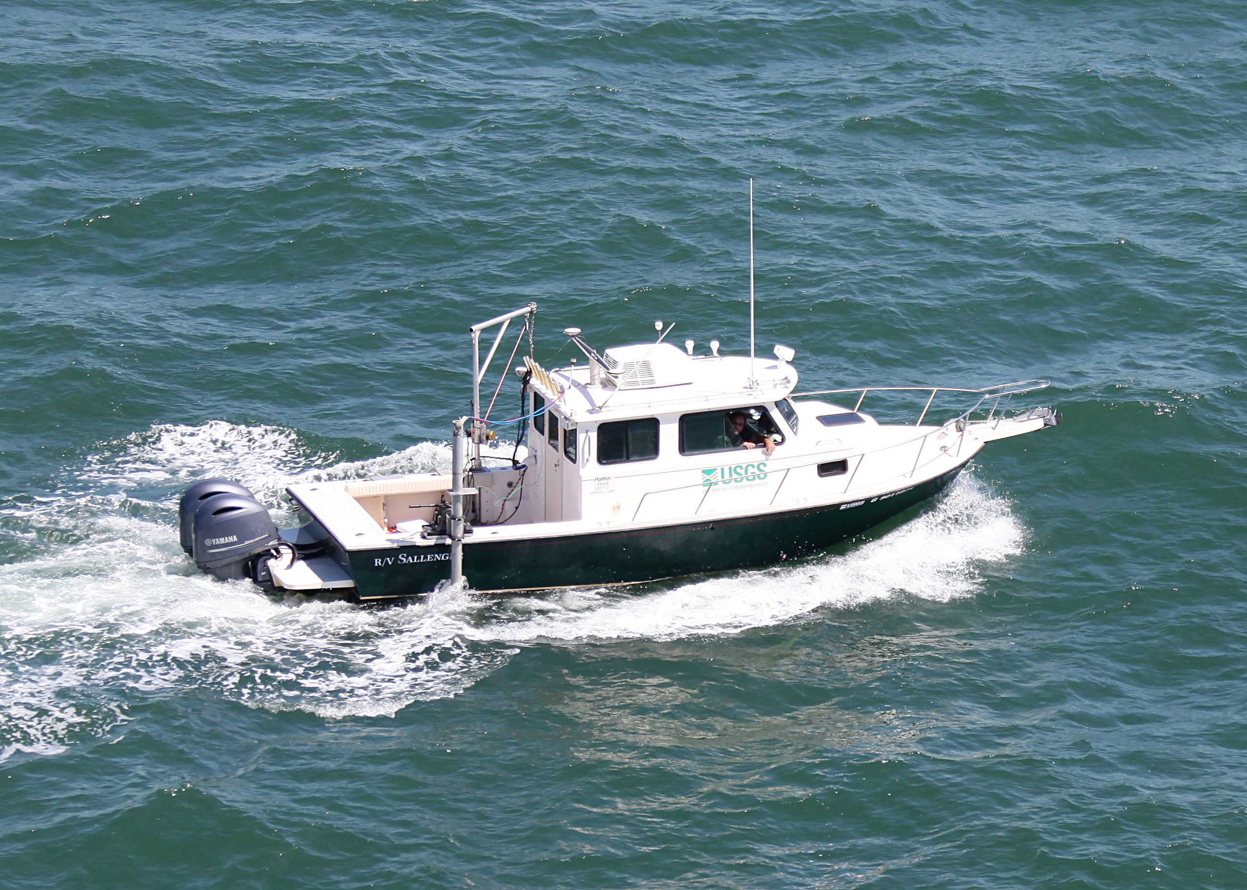
 Sallenger |
Buster, N.A., Miselis, J.L., Wei, E.A., Forde, A.S., 2025, Assessment of Active Sand Volumes at Rockaway Beach and Fire Island in New York and Seven Mile Island in New Jersey: U.S. Geological Survey Data Report 1211, https://doi.org/10.3133/dr1211.
Stalk, C.A., DeWitt, N.T., Levinson, S.C., and Miselis, J.L., 2024, Coastal Multibeam Bathymetry and Backscatter Data Collected in May 2023 From Seven Mile Island, New Jersey: U.S. Geological Survey data release, https://doi.org/10.5066/P13TUAJH.
| Survey Equipment | Survey Info | Data Type(s) | Data Collected |
|---|---|---|---|
| Multibeam Bathymetry System | --- | Multibeam | 7Mile_2023_MBES_Backscatter (Processed acoustic intensity backscatter mosaic, derived from the 1-meter grid, provided as a 32-point GeoTIFF in WGS84 (G1150) ellipsoid) 7Mile_2023_MBES_xyz (Processed elevation point data (xyz) as derived from a 1-meter grid provided in both WGS84 (G1150) ellipsoid and NAD83 NAVD88 GEOID12B) |
| Castaway-CTD | --- | Sound Velocity |