Other ID: 23BIM05, 23BIM06, 23BIM07, 23BIM08, 23BIM09, 23BIM10, 23BIM11, 23BIM12, 23BIM13, 23BIM14
Status: Pending
Organization(s): USGS, St. Petersburg Coastal and Marine Science Center
Funding Program(s): Hurricane Ida Supplemental Funding (GX.22.MN00.UN810.23)
Principal Investigator(s): Julie Bernier, Jennifer Miselis
Affiliate Investigator(s):
Information Specialist(s): Chelsea Stalk, Nancy DeWitt, Julie Bernier
Data Type(s): Sonar: Sound Velocity, Sonar: Single Beam, Sonar: Multibeam, Seismics: Sub Bottom Profiler, Location-Elevation: Navigation, Location-Elevation: Benchmarks
Scientific Purpose/Goals: Bathymetric assessment of changes in seafloor elevations; collect sub-bottom data around Hewes Point and cut north of Monkey Bayou.
Vehicle(s): Ford F-350 Dually Grey (GSA), Ford F-250 Stone Grey, Chevy Suburban Silver, Ford F-350 Dually White (GSA)
Start Port/Location: Biloxi, MS
End Port/Location: Biloxi, MS
Start Date: 2023-06-10
End Date: 2023-08-11
Equipment Used: Castaway-CTD, TSS DMS-05 Motion Sensor, SBG Ellipse A Motion Sensor, ODOM-Echotrac CV-100, Multibeam Bathymetry System, Chirp 424, Chirp 216, Applanix POS-MV DGPS/IMU, Choke Ring Antenna, Collapsible Tripod, SP90 GNSS Receiver
Information to be Derived: Bathymetry, sub-bottom profiles.
Summary of Activity and Data Gathered: Collected 40 lines of chirp 424 and 2216 sub-bottom data. Bathymetric data were also acquired.
Staff: Sabrina Levinson, Chelsea Stalk, Maxwell Reynolds, Billy Reynolds, Erin Lyons, Kyle Kelso, Benjamin Galbraith, Andrew Farmer, Nancy DeWitt, Julie Bernier, Jennifer Miselis
Affiliate Staff:
Notes: SubFANs by vessel:
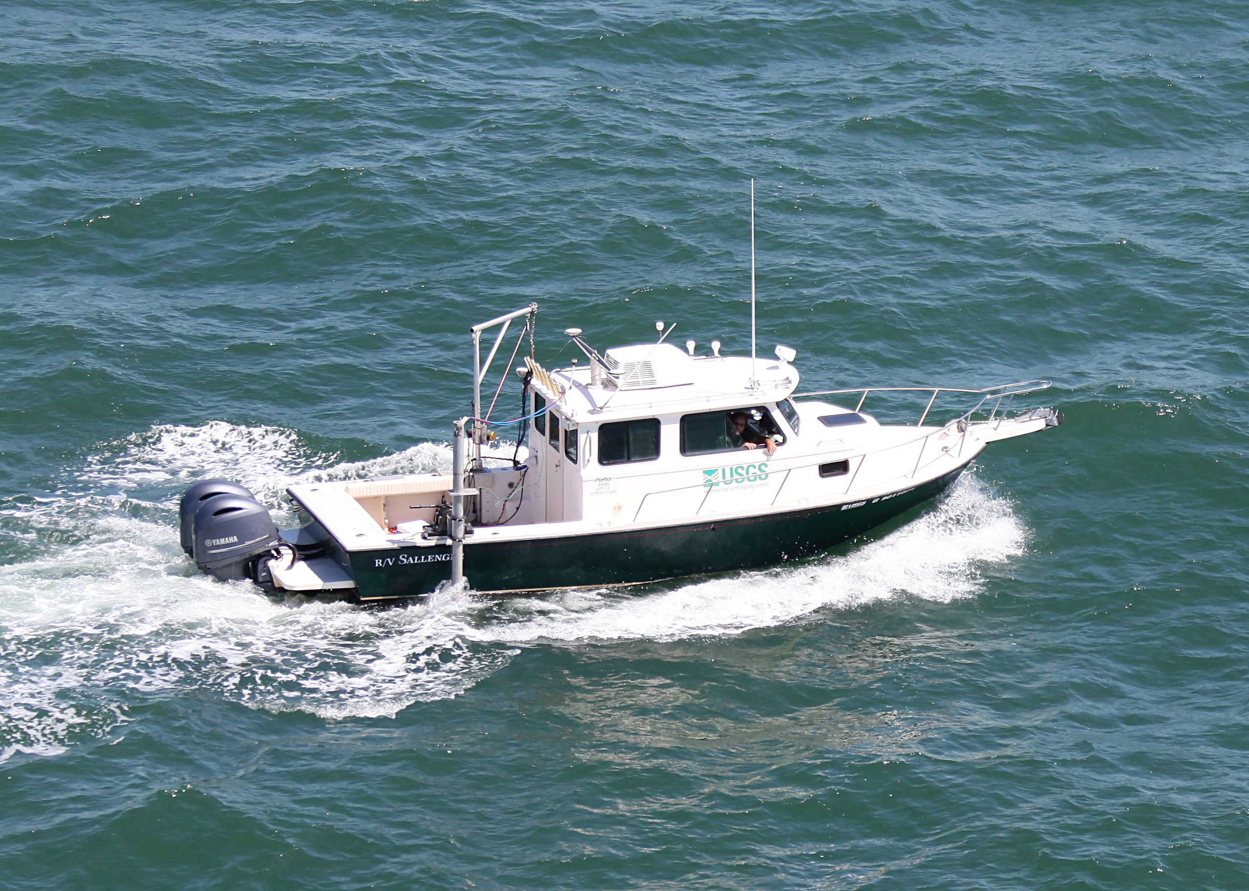
23BIM05: Sallenger
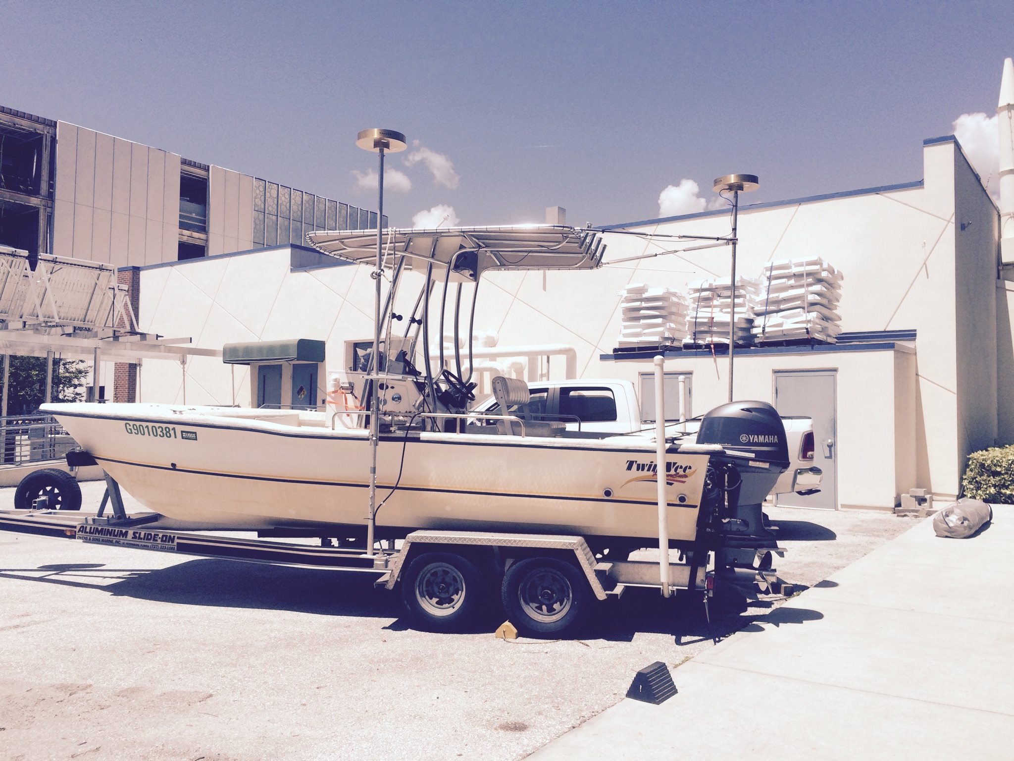
23BIM06: TwinVee
23BIM07: Mako
23BIM08: WVR1
23BIM09: WVR2
23BIM10: Sallenger (Leg 2)
23BIM11: TwinVee (Leg 2)
23BIM12: Mako (Leg 2)
23BIM13: WVR1 (Leg 2)
23BIM14: WVR2 (Leg 2)
Location:
Chandeleur Islands, LA
| Boundaries | |||
|---|---|---|---|
| North: 30.08728271 | South: 29.73003347 | West: -89.01172969 | East: -88.70421443 |
Platform(s):
 Mako (SP) |  Personal Water Craft (Blue WVR2 - Chum) |  Personal Water Craft (White WVR1 - Shark) |  Sallenger |  22-ft Twin Vee (R/V G. Hill) |
Forde, A.S., Miselis, J.L., Stalk, C.A., Buster, N.A., 2024, Chirp Sub-Bottom Profile Geophysical Data Collected in 2023 From the Chandeleur Islands, Louisiana: U.S. Geological Survey data release, https://doi.org/10.5066/P1HOLGKM.
Lyons, E.O., Stalk, C.A., Miselis, J.L., Buster, N.A., Bernier, J.C., DeWitt, N.T., 2025, Coastal Single-Beam Bathymetry Data Collected in 2023 From the Chandeleur Islands, Louisiana: U.S. Geological Survey data release, https://doi.org/10.5066/P1HJAVAR.
Stalk, C.A., Bemelmans, C.C., Miselis, J.L., 2025, Coastal Bathymetry and Backscatter Data Collected June-August 2023 From the Chandeleur Islands, Louisiana: U.S. Geological Survey data release, https://doi.org/10.5066/P1NWHXZS.
| Survey Equipment | Survey Info | Data Type(s) | Data Collected |
|---|---|---|---|
| Castaway-CTD | --- | Sound Velocity | |
| TSS DMS-05 Motion Sensor | --- | Interferometric Single Beam | |
| SBG Ellipse A Motion Sensor | --- | Single Beam | |
| ODOM-Echotrac CV-100 | --- | Single Beam | Chandeleur_Islands_2023_SBES_ WGS84_UTM16N_LTC_xyz (Single-beam bathymetry data points (xyz) for the extended shore-perpendicular transects in WGS84 (G2139) UTM16N ellipsoid) Chandeleur_Islands_2023_SBES_ WGS84_UTM16N_NoLTC_xyz (Single-beam bathymetry data points (xyz) for all survey lines, excluding extended shore- perpendicular transects, in WGS84 (G2139) UTM16N ellipsoid) Chandeleur_Islands_2023_SBES_ NAD83_UTM16N_NAVD88_G18_LTC_xyz (Single-beam bathymetry data points (xyz) for the extended shore- perpendicular transects in NAD83 and NAVD88 (orthometric height) with respect to the GEOID18 model) Chandeleur_Islands_2023_SBES_ NAD83_UTM16N_NAVD88_G18_NoLTC_xyz (Single-beam bathymetry data points (xyz) for all survey lines, excluding extended shore- perpendicular transects, in NAD83 and NAVD88 (orthometric height) with respect to the GEOID18 model) |
| Multibeam Bathymetry System | --- | Multibeam | Chandeleur_Islands_2023_MBES_xyz (Processed elevation point data (xyz) as derived from 1-meter grids provided in WGS84 (G1150) ellipsoid height, and NAD83 NAVD88 GEOID 18) Chandeleur_Islands_2023_MBES_Backscatter (Processed acoustic intensity backscatter mosaic, derived from the 1-meter grid, provided as an 8-point GeoTIFF in WGS84 (G1150) ellipsoid) |
| Chirp 424 | --- | Sub Bottom Profiler | 2023-325-FA_segy (Digital chirp sub-bottom trace data) 2023-325-FA_nav (Navigation data for the entire survey, 1000-shot-interval locations, and start of line locations and data dictionary ) 2023-325-FA_seisimag (Processed sub-bottom profile images) 2023-325-FA_gis (Sub-bottom profile data geospatial files and data dictionary ) |
| Chirp 216 | --- | Sub Bottom Profiler | |
| Applanix POS-MV DGPS/IMU | --- | Navigation | |
| Choke Ring Antenna | --- | Benchmarks Navigation | |
| Collapsible Tripod | --- | Benchmarks Navigation Profiles Transects | |
| SP90 GNSS Receiver | --- | Benchmarks Navigation | Chandeleur_Islands_2023_SBES_ WGS84_UTM16N_Tracklines (Two single-beam bathymetry trackline shapefiles: one containing only the extended shore- perpendicular transects and one containing all other survey lines in WGS84 (G2139) UTM16N ellipsoid) |