Other ID: none
Status: Completed
Organization(s): USGS, Woods Hole Coastal and Marine Science Center
Funding Program(s): Integrated sea floor characterization (LQ00UQN)
Principal Investigator(s): Jason Chaytor
Affiliate Investigator(s):
Information Specialist(s): Sarah Widlansky
Data Type(s): Imagery: Video, Environmental Data: CTD, Environmental Data: Depth, Sampling: Geology
Scientific Purpose/Goals: Two leg cruise (04/24-05/08 and 05/08-05/25) to sample sediments on the summit of Atlantis II seamount in support of ONR Task Force Ocean.
Vehicle(s):
Start Port/Location: Woods Hole
End Port/Location: Woods Hole, MA
Start Date: 2024-04-25
End Date: 2024-05-25
Equipment Used: DST tilt, DST CTD, RBRsolo-D depth logger, GoPro camera, Box corer
Information to be Derived: sediment composition, physical properties
Summary of Activity and Data Gathered: The position of the Gulf Stream over the Atlantis II Seamount during the coring leg of the cruise (05/08 - 05/25), prevented the planned coring on the summit of the seamount. The box corer was deployed at two deep water sites near the seamount as well as one site in the nearby Caldera Seamount. No sediment was recovered from the two deep water deployments and a small amount of sediment was collected in the box corer from the caldera. A pressure sensor mounted on the box corer collected data during all deployments. Additionally, CTD and tilt data, as well as video footage, were collected during the caldera box corer deployment.
Staff: Alexander Nichols, Sarah Widlansky
Affiliate Staff:
Notes:
Location:
Atlantis II Seamount
| Boundaries | |||
|---|---|---|---|
| North: 39.617221 | South: 37.725074 | West: -64.631545 | East: -62.271175 |
Platform(s):
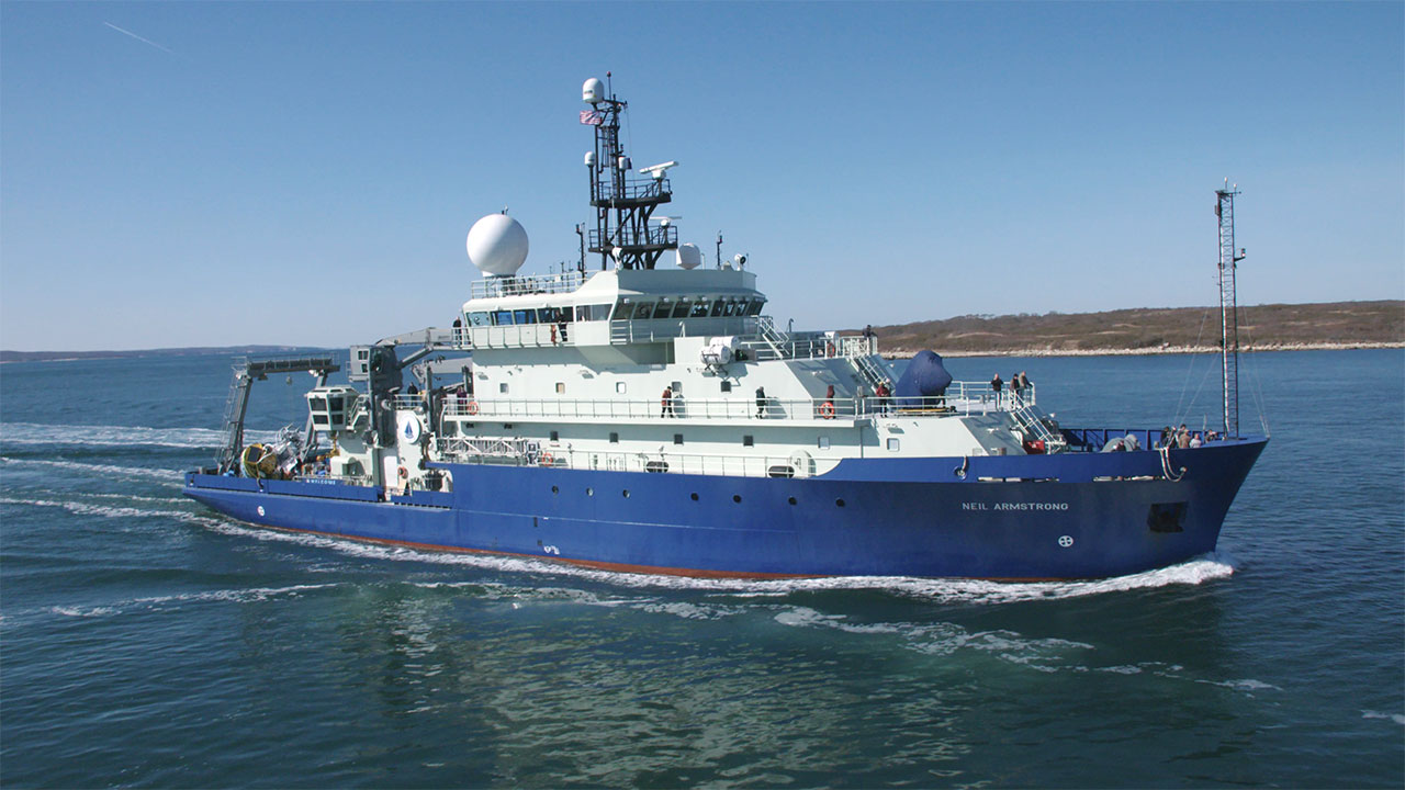 Neil Armstrong |
| Survey Equipment | Survey Info | Data Type(s) | Data Collected |
|---|---|---|---|
| DST tilt | The DST tilt logger was mounted on the box corer during collection of core AR83b-03BC. Measurements were taken every 1 sec. | CTD | |
| DST CTD | The DST CTD logger was mounted on the box corer during collection of core AR83b-03BC. Measurements were taken every 1 sec. | CTD | |
| RBRsolo-D depth logger | The RBRsolo logger was mounted on the box corer during each of the three deployments to collect pressure (depth) data. Measurements were taken every 1 sec. | Depth | |
| GoPro camera | A GoPro 7 was mounted on the box corer during collection of core AR83b-03BC to record a series of underwater videos. | Photo Video | |
| Box corer | The box corer was deployed at two deep water (~5000 m depth) sites near the Atlantis II seamount, followed by one site in the nearby Caldera Seamount (~2200 m depth). No sediment was recovered from the first deployment. A trace amount of sediment was recovered during the second deployment and about 30 g of sediment was recovered from the caldera. A 125 mL water sample was also collected from the box corer during the caldera deployment. | Biology Geology |
