Other ID: Head of the Meadow 2024
Status: Completed
Organization(s): USGS, Woods Hole Coastal and Marine Science Center
Funding Program(s): Next-Generation Total Water Level and Coastal Change Forecast (WH) (MN00U03)
Principal Investigator(s): Christopher Sherwood
Affiliate Investigator(s): Peter Traykovski (WHOI)
Information Specialist(s): Jin-Si Over
Data Type(s): Sonar: Single Beam, Location-Elevation: Navigation, Imagery: Photo
Scientific Purpose/Goals: To characterize the beach and nearshore morphology used to validate the USGS Total Water Level and Coastal Change Forecast and use of ARGUS Camera systems (CoastCams) to visualize and map the beach and nearshore region to determine the types of bar morphologies, their persistence and temporal variability, and the relationship of these changes to wave and water-level conditions. This includes subaerial survey measurements to map the beach; aerial imagery from kite/balloon (Heli-kite) to map beach; bathymetric soundings from WHOI autonomous surface vehicle to map nearshore. Surveys are repeat from 2020-015-FA, 2021-014-FA, 2022-015-FA, 2022-011-FA at Head of the Meadow. Sister camera to Marconi Beach
Vehicle(s):
Start Port/Location: Falmouth, MA
End Port/Location: Falmouth, MA
Start Date: 2024-02-09
End Date: 2024-03-20
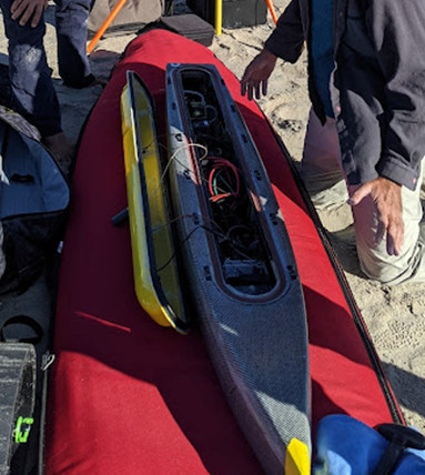
Equipment Used: Aeropoint targets, Sony a6000, Cerulean Sonar S-500 Sounder, PPK GPS, UAS- heli-kite
Information to be Derived: Updated year of change at Head of the Meadow of the topography and bathymetry of the beach and nearshore region in view of the cameras.
Summary of Activity and Data Gathered: Single-beam data was collected on February 9th (P. TRaykovski, J. Over, and L. Vanderveen). We were hailed on and it was very cold. The boat got caught up in seaweed multiple times in the nearshore and the rudder snapped on the last one. Data was still collected, though more patchy than the last few times. The Helikite was launched on March 20th (P. Traykovski, J. Over, L. Vanderveen, and M. Anderberg) with 10 Aeropoints. Wind was 10-15 mph, gusting 20-25. The helikite got a puncture early on that was patched. SONY camera was attached and it fell off on the first transect - camera was still functioning but damaged and we finished the survey with an oblique angle. Due to wind conditions, the base of the bluff was poorly photographed.
Staff: Liesel Vanderveen, Jin-Si Over, Christopher Sherwood
Affiliate Staff:
Notes: Survey days and personnel will be based on availability and weather. Mira Anderberg also on staffing (intern)
Entries for this field activity are based on entries from Field Activity 2022-015-FA.
Entries for this field activity are based on entries from Field Activity 2023-011-FA.
Location:
Head of the Meadow Beach, Truro Cape Cod National Seashore, Barnstable County, MA, United States
| Boundaries | |||
|---|---|---|---|
| North: 42.05933014 | South: 42.04906957 | West: -70.08041382 | East: -70.06998539 |
Platform(s):
 WHOI Yellowfin |  on foot |
Over, J.R., Sherwood, C.R., Traykovski, P.A., and Anderberg, M.M., 2024, Topographic and bathymetric data, imagery, and ground control data collected at Head of the Meadow Beach, Truro, Massachusetts in February and March 2024: U.S. Geological Survey data release, https://doi.org/10.5066/P1N57AEG.
| Survey Equipment | Survey Info | Data Type(s) | Data Collected |
|---|---|---|---|
| Aeropoint targets | 10 AeroPoint V2's were placed on the beach | Navigation Transects Profiles | 2024-011-FA_HOM_GCPs (Ground control points Head of the Meadow Beach, Truro, MA on March 20, 2024) |
| Sony a6000 | takes pictures every 5 seconds - attached to the spar of the heli-kite | Photo | 2024-011-FA_HOM_SfM (SfM digital surface model and orthomosaic representing Head of the Meadow Beach, Truro, MA on March 20, 2024. High-resolution elevation and true-color dataset. 2 separate GeoTIFFs.) 2024-011-FA_HOM_imagery (Low-altitude aerial imagery collected from a Helikite at Head of the Meadow Beach, Truro, MA on March 20, 2024. Includes individual images in JPEG format and image location in CSV data format.) |
| Cerulean Sonar S-500 Sounder | single-beam echosounder data used on the Yellowfin | Single Beam | 2024-011-FA_HOM_bathymetry (Bathymetric data and grid of offshore Head of the Meadow Beach, Truro, MA on February 9, 2024. The mosaic as a GeoTIFF and the individual bathymetry points in CSV data format.) |
| PPK GPS | collects post-processing kinematic (PPK) navigation data | Navigation | |
| UAS- heli-kite | Filled with helium and towed by hand up and down the beach with the Sony a6000 digital camera attached to the spar | Photo Navigation Video | No data was collected |
