Other ID: Marconi Beach 2024
Status: Completed
Organization(s): USGS, Woods Hole Coastal and Marine Science Center
Funding Program(s): Next-Generation Total Water Level and Coastal Change Forecast (WH) (MN00U03)
Principal Investigator(s): Christopher Sherwood
Affiliate Investigator(s): Peter Traykovski (WHOI)
Information Specialist(s): Jin-Si Over
Data Type(s): Imagery: Photo, Location-Elevation: Navigation, Sonar: Single Beam
Scientific Purpose/Goals: To characterize the beach and nearshore morphology to validate the USGS Total Water Level and Coastal Change Forecast that uses the ARGUS Camera systems (CoastCams) to visualize and map the beach and nearshore region to determine the types of bar morphologies, their persistence and temporal variability, and the relationship of these changes to wave and water-level conditions. Includes subaerial survey measurements to map the beach; aerial imagery from kite/balloon to map the beach; and bathymetric soundings from WHOI autonomous surface vehicle to map nearshore. May include measurments to calibrate the CoastCam.
Vehicle(s):
Start Port/Location: Falmouth, MA
End Port/Location: Falmouth, MA
Start Date: 2024-03-22
End Date: 2024-04-23
Equipment Used: Ricoh GR II, Aeropoint targets, PPK GPS, UAS- heli-kite, Cerulean Sonar S-500 Sounder
Information to be Derived: Yearly update on topography and bathymetry of the beach and nearshore region in view of the cameras.
Summary of Activity and Data Gathered: Helikite was deployed March 22nd with the Ricoh on Go-Pro mount. A large storm occurred between the helikite and the bathymetry mapping on April 23rd and the bluffs, beach, nearshore from March likely do not match the April offshore profile.
Staff: Jin-Si Over, Christopher Sherwood
Affiliate Staff:
Notes: There will be two days of surveying based on weather. Staffing includes Mira Anderberg (intern)
Entries for this field activity are based on entries from Field Activity 2022-014-FA.
Entries for this field activity are based on entries from Field Activity 2023-012-FA.
Location:
Marconi Beach, Wellfleet, Cape Cod National Seashore, Barnstable County, MA, United States
| Boundaries | |||
|---|---|---|---|
| North: 41.89900178 | South: 41.8898755 | West: -69.96565313 | East: -69.95105473 |
Platform(s):
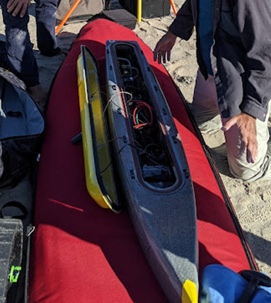 WHOI Yellowfin |  on foot |
Over, J.R., Sherwood, C.R., and Traykovski, P.A., 2024, Topographic, bathymetric, and ground control data collected at Marconi Beach, Wellfleet, Massachusetts in March and April 2024: U.S. Geological Survey data release, https://doi.org/10.5066/P14VBPYC.
| Survey Equipment | Survey Info | Data Type(s) | Data Collected |
|---|---|---|---|
| Ricoh GR II | Takes photos every 2 seconds | Photo | 2024-016-FA_Marconi_SfM (Structure from motion GCPs, digital surface model, and orthomosaic representing Marconi Beach, Wellfleet, MA on March 22, 2024. The dataset includes the DSM (GeoTIFF), orthomosaic (GeoTIFF), and the ground control points (CSV).) 2024-016-FA_Marconi_imagery (Low-altitude aerial imagery collected from a Helikite at Marconi Beach, Wellfleet, MA on March 22, 2024. The dataset includes he images (JPEG) as well as the image locations (CSV).) |
| Aeropoint targets | placed on beach to georeference SfM project | Navigation Transects Profiles | |
| PPK GPS | collects ppk data on ASV | Navigation | |
| UAS- heli-kite | Inflated and pulled along beach while camera was attached | Photo Navigation Video | |
| Cerulean Sonar S-500 Sounder | in ASV Yellowfin and collecting single-beam echosounder data | Single Beam | 2024-016-FA_Marconi_bathymetry (Bathymetric data and grid of offshore Marconi Beach, Wellfleet, MA on April 23, 2024. The data are available as a grid (GeoTIFF) and the individual sounding values (CSV).) |
