Other ID: Breton Is. Lidar GCP Survey
Status: Pending
Organization(s): USGS, St. Petersburg Coastal and Marine Science Center
Funding Program(s): Other (Other)
Principal Investigator(s): James Flocks
Affiliate Investigator(s):
Information Specialist(s): Andrew Farmer, Benjamin Galbraith, Christopher Bemelmans, Chelsea Stalk, Billy Reynolds, Nancy DeWitt
Data Type(s): Location-Elevation: Profiles, Location-Elevation: LIDAR
Scientific Purpose/Goals: To collect Ground Control Points (GCP's) used to groundtruth a Lidar flight of Breton Is., LA.
Vehicle(s): Ford Expedition Green, Ford F-250 Stone Grey
Start Port/Location: Biloxi, MS
End Port/Location: Venice, LA
Start Date: 2024-10-07
End Date: 2024-10-15
Equipment Used: Collapsible Tripod, GPS Backpack, Trimble SPS751, Real-Time Kinematic (RTK) DGPS, GPS Tablet, GPS Pole
Information to be Derived: GPS points will be collected around the Island ensuring ample coverage in the various ground cover types found on the Island.
Summary of Activity and Data Gathered:
Staff:
Affiliate Staff:
Notes:
Location:
Venice, LA - Breton Is. LA
| Boundaries | |||
|---|---|---|---|
| North: 29.55434513 | South: 29.09697706 | West: -89.36279297 | East: -89.04968262 |
Platform(s):
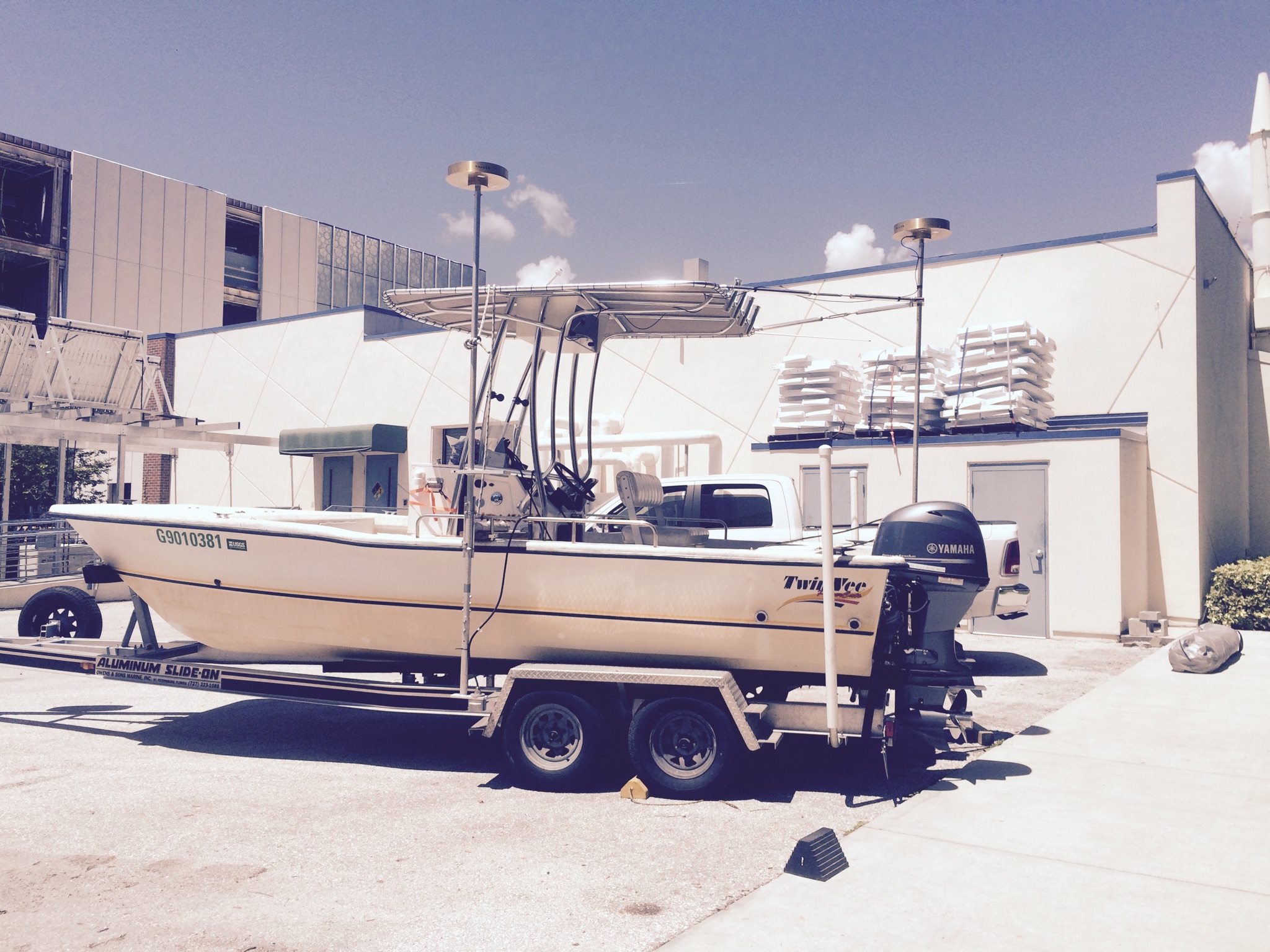
 Mako (SP) |  Twin Vee (Jabba Jaw) |
| Survey Equipment | Survey Info | Data Type(s) | Data Collected |
|---|---|---|---|
| Collapsible Tripod | --- | Benchmarks Navigation Profiles Transects | |
| GPS Backpack | --- | Navigation Profiles Transects | |
| Trimble SPS751 | --- | Benchmarks Navigation Profiles Transects | |
| Real-Time Kinematic (RTK) DGPS | --- | Benchmarks Navigation Profiles | |
| GPS Tablet | --- | Navigation Profiles Transects | |
| GPS Pole | --- | Navigation Profiles Transects |