AKA: none
Other ID: Sierra Lakes
Status: Pending
Organization(s): USGS, Pacific Coastal and Marine Science Center
Funding Program(s): Coastal and marine earthquake, tsunami, and landslide active margin field studies (ZP00EQV)
Principal Investigator(s): Drake Singleton, Daniel Brothers
Affiliate Investigator(s):
Information Specialist(s): Boe Derosier, Alicia Balster-gee
Data Type(s): Seismics: Sub Bottom Profiler, Sonar: Multibeam
Scientific Purpose/Goals: Acquire geophysical data and sediment cores in several Sierran lakes to examine records of strong shaking
Vehicle(s): MarFac; Ford F350 MT use only; pickup - white; G43-2784H, MarFac; Sprinter
Start Port/Location: Santa Cruz
End Port/Location:
Start Date: 2024-09-03
End Date: 2024-09-16
Equipment Used: SwathPlus, subbottomprofiler
Information to be Derived: Earthquake shaking records, paleo environmental records
Summary of Activity and Data Gathered:
Staff:
Affiliate Staff:
Notes:
Location:
Eastern Sierra Nevada Range
| Boundaries | |||
|---|---|---|---|
| North: 38.17602305 | South: 35.61443559 | West: -119.75097656 | East: -117.51855388 |
Platform(s):
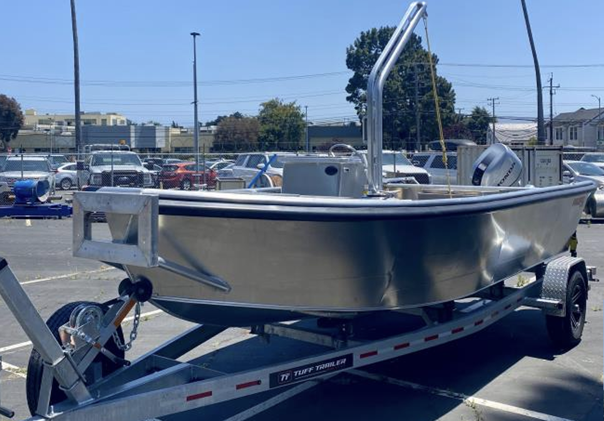 M.T. Williams |
| Survey Equipment | Survey Info | Data Type(s) | Data Collected |
|---|---|---|---|
| SwathPlus | --- | Interferometric Multibeam | |
| subbottomprofiler | --- | Sub Bottom Profiler |
