AKA: none
Other ID: WA Lakes 2025
Status: Pending
Organization(s): USGS, Pacific Coastal and Marine Science Center
Funding Program(s): Coastal and marine earthquake, tsunami, and landslide active margin field studies (ZP00EQV)
Principal Investigator(s): Drake Singleton, Boe Derosier, Daniel Brothers
Affiliate Investigator(s): Brian Sherrod (ESC)
Information Specialist(s):
Data Type(s): Sonar: Multibeam, Seismics: Sub Bottom Profiler, Sampling: Geology
Scientific Purpose/Goals: To identify lacustrine sedimentary evidence for large, potentially destructive prehistoric earthquakes in Central Washington
Vehicle(s): MarFac; Ford F350 MT use only; pickup - white; G43-2784H, MarFac; Sprinter
Start Port/Location: Santa Cruz
End Port/Location: Wenatchee
Start Date: 2025-07-07
End Date: 2025-07-21
Equipment Used: Norbit Winghead, Gravity Core, subbottomprofiler
Information to be Derived: lakefloor geomorphology, bathymetry, subbottom stratigraphy, sedimentology, age control. Derived from the Chirp 516 profiles, Norbit multibeam, percussion gravity cores
Summary of Activity and Data Gathered:
Staff:
Affiliate Staff:
Notes: San Lorenzo will be towed from santa cruz; sprinter van for core transport and chirp trailer
Location:
Lake Wenatchee, Lake Kachess, Lake Wallowa
| Boundaries | |||
|---|---|---|---|
| North: 49.4224094 | South: 45.00209791 | West: -121.38574004 | East: -115.91894478 |
Platform(s):
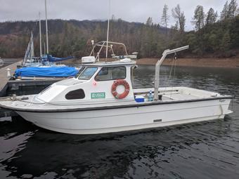 San Lorenzo |
| Survey Equipment | Survey Info | Data Type(s) | Data Collected |
|---|---|---|---|
| Norbit Winghead | --- | Multibeam | |
| Gravity Core | --- | Geology | |
| subbottomprofiler | --- | Sub Bottom Profiler |
