AKA: none
Other ID: Quinault and Ozette 2025
Status: Pending
Organization(s): USGS, Pacific Coastal and Marine Science Center
Funding Program(s): Coastal and marine earthquake, tsunami, and landslide active margin field studies (ZP00EQV)
Principal Investigator(s): Daniel Brothers
Affiliate Investigator(s): Brian Sherrod (ESC Seattle)
Information Specialist(s): Jason Padgett, Boe Derosier
Data Type(s): Sampling: Geology, Sonar: Multibeam
Scientific Purpose/Goals: Collect sediment cores, Norbit MBES mapping, and Graviprobe penetrometer data
Vehicle(s):
Start Port/Location:
End Port/Location:
Start Date: 2025-08-10
End Date: 2025-08-24
Equipment Used: Graviprobe, core, Norbit Winghead
Information to be Derived: bathymetry, sediment physical properties including in situ shear strength
Summary of Activity and Data Gathered:
Staff:
Affiliate Staff:
Tony Hartrich Quinault Tribe
Notes: Collaborative project between Brothers' lacustrine paleoseismology task and Sherrod's equivalent task at the ESC
Location:
Lake Quinault and Ozette Lake, WA
| Boundaries | |||
|---|---|---|---|
| North: 48.24625943 | South: 47.41061825 | West: -124.85961931 | East: -123.75659186 |
Platform(s):
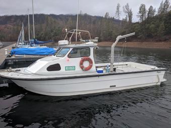 San Lorenzo |
| Survey Equipment | Survey Info | Data Type(s) | Data Collected |
|---|---|---|---|
| Graviprobe | --- | Geology | |
| core | --- | Chemistry Biology Geology | |
| Norbit Winghead | --- | Multibeam |
