AKA: none
Other ID: none
Status: Pending
Organization(s): USGS, Pacific Coastal and Marine Science Center
Funding Program(s):
Principal Investigator(s): SeanPaul La Selle
Affiliate Investigator(s):
Information Specialist(s): SeanPaul La Selle
Data Type(s): Sampling: Geology, Location-Elevation: Navigation
Scientific Purpose/Goals: To collect cores and determine the paleo tsunami and earthquake history in Bradley Lake, OR and Lagoon Creek, CA
Vehicle(s):
Start Port/Location: Bandon, OR
End Port/Location: Klamath, CA
Start Date: 2025-09-15
End Date: 2025-09-30
Equipment Used: Vibracore, Peat Auger, anchorsamplegrab, Garmin
Information to be Derived: Grain size, radiocarbon ages, foraminifera and diatom assemblages, thickness and distribution of tsunami deposits
Summary of Activity and Data Gathered:
Staff: Daniel Powers
Affiliate Staff:
Notes: Hadai vibracore, gouge core and surface samples
GPS: handheld Garmin devices
Entries for this field activity are based on entries from Field Activity 2017-670-FA
Entries for this field activity are based on entries from Field Activity 2018-656-FA.
Location:
Bradley Lake, OR; Lagoon Creek, CA
| Boundaries | |||
|---|---|---|---|
| North: 43.07 | South: 41.5 | West: -124.44 | East: -124.04 |
Platform(s):
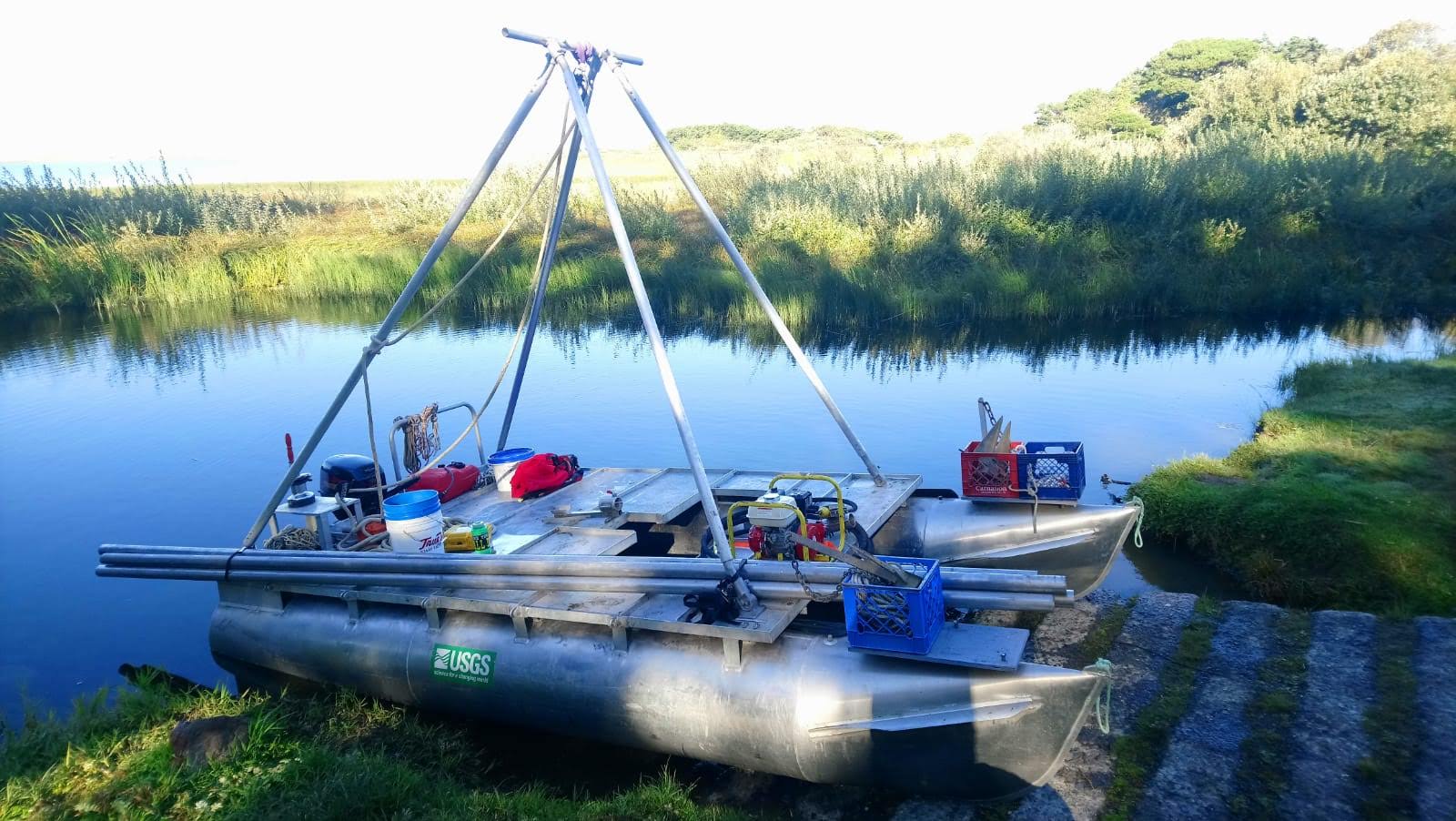 Hadai | 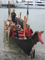 Canoe |  on foot |
| Survey Equipment | Survey Info | Data Type(s) | Data Collected |
|---|---|---|---|
| Vibracore | --- | Chemistry Geology | |
| Peat Auger | --- | Geology | |
| anchorsamplegrab | --- | Geology | |
| Garmin | --- | Navigation |
