AKA: none
Other ID: Eureka 2025
Status: Pending
Organization(s): USGS, Pacific Coastal and Marine Science Center, USGS, Earthquake Hazards
Funding Program(s): Coastal and marine earthquake, tsunami, and landslide active margin field studies (ZP00EQV)
Principal Investigator(s): Janet Watt
Affiliate Investigator(s):
Information Specialist(s): Janet Watt
Data Type(s): Location-Elevation: Benchmarks
Scientific Purpose/Goals: To deploy 1 new seafloor geodetic station and measure position at 4 stations in southern Cascadia
Vehicle(s): MarFac; Ford 650 Box truck - White G71-03559
Start Port/Location: Eureka, CA
End Port/Location: Eureka, CA
Start Date: 2025-08-10
End Date: 2025-09-30
Equipment Used: GNSS-A
Information to be Derived: Precise position
Summary of Activity and Data Gathered: Seafloor geodetic measurement to understand plate locking in the subduction zone and gorda plate kinematics
Staff: Rachel Marcuson
Affiliate Staff:
Notes:
Location:
Offshore Eureka, CA
| Boundaries | |||
|---|---|---|---|
| North: 42.36936743 | South: 40.48873729 | West: -125.76782249 | East: -124.0429683 |
Platform(s):
 ATV | Other | 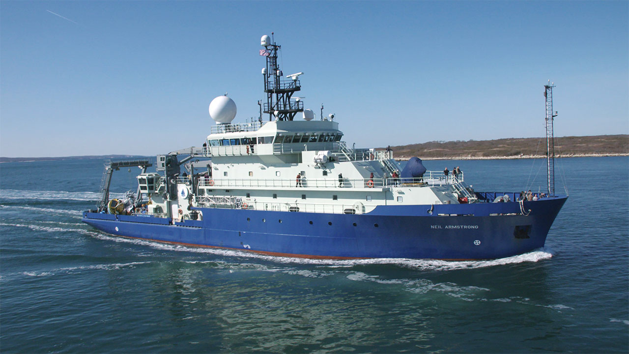 Neil Armstrong |
| Survey Equipment | Survey Info | Data Type(s) | Data Collected |
|---|---|---|---|
| GNSS-A | --- | Benchmarks |
