AKA: none
Other ID: A-1-76-WG
Status: Completed
Organization(s): USGS, Pacific Coastal and Marine Science Center
Funding Program(s):
Principal Investigator(s): Roland VonHuene
Affiliate Investigator(s):
Information Specialist(s):
Data Type(s): Seismics: Sub Bottom Profiler, Sonar: Single Beam
Scientific Purpose/Goals:
Vehicle(s):
Start Port/Location:
End Port/Location:
Start Date: 1976-08-09
End Date: 1976-09-05
Equipment Used: 3.5khz, 11khz
Information to be Derived:
Summary of Activity and Data Gathered:
Staff:
Affiliate Staff:
Notes:
Staff information imported from InfoBank
Roland Von Huene (USGS Western Region) - Chief Scientist
Location:
Western Gulf of Alaska
| Boundaries | |||
|---|---|---|---|
| North: 61.75 | South: 54 | West: -156 | East: -144.25 |
Platform(s):
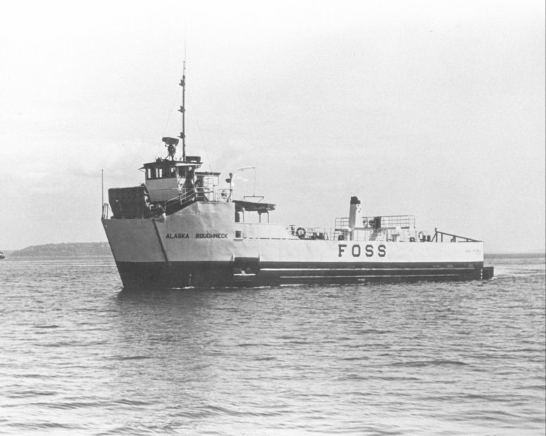 Alaska Roughneck |
| Survey Equipment | Survey Info | Data Type(s) | Data Collected |
|---|---|---|---|
| 3.5khz | --- | Sub Bottom Profiler | |
| 11khz | --- | Single Beam |
