AKA: B-01-14-SP
Other ID: none
Status: Completed
Organization(s): Other, USGS, Pacific Coastal and Marine Science Center
Funding Program(s): Pacific Coral Reef Geology and Oceanography (ZP00DXN)
Principal Investigator(s): Curt Storlazzi
Affiliate Investigator(s):
Information Specialist(s): Joshua Logan
Data Type(s): Environmental Data: Current, Location-Elevation: Navigation
Scientific Purpose/Goals: To determine logistic and instrument deployment sites for 2015 study funded by NPS
Vehicle(s): None
Start Port/Location: Pago Pago Harbor, Tutuilla, American Samoa
End Port/Location: Pago Pago Harbor, Tutuilla, American Samoa
Start Date: 2014-02-16
End Date: 2014-02-23
Equipment Used: ADCP - RDInstruments - 1200 kHz, Handheld GPS
Information to be Derived: Substrate character
Summary of Activity and Data Gathered: deployment of 3 Nortek Aquadopp ADCPs in Faga'alu Bay, Tutuila, American Samoa (~14.290˚ S, ~170.677˚ W)
Staff:
Affiliate Staff:
Notes: updated FAN to B0114SP on 10/18/2018
dates updated per Curt Storlazzi (was 1/13/2014 -1/18/2014;now 2/16/2018-2/23/2014
NPS whaler used; Inventory and Monitoring Program
Location:
Tutuilla, American Samoa, South Pacific Ocean
| Boundaries | |||
|---|---|---|---|
| North: -11.59305057 | South: -16.35221289 | West: -174.419 | East: -167.98046875 |
Platform(s):
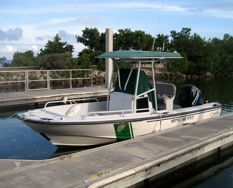 Boston whaler (NPS) |
| Survey Equipment | Survey Info | Data Type(s) | Data Collected |
|---|---|---|---|
| ADCP - RDInstruments - 1200 kHz | --- | Current Wave Mooring (physical oceanography) | |
| Handheld GPS | --- | Navigation |
