AKA: none
Other ID: G-1-75-EG,EGAL-75-XB
Status: Completed
Organization(s):
Funding Program(s):
Principal Investigator(s): Ken Bayer, Terry Bruns, Gary Winkler
Affiliate Investigator(s):
Information Specialist(s):
Data Type(s): Electro-Magnetic: Gravity, Electro-Magnetic: Magnetics, Location-Elevation: Navigation, Seismics: Air Gun / Water Gun, Seismics: Boomer, Seismics: Multichannel, Sonar: Single Beam, Sonar: Sound Velocity
Scientific Purpose/Goals:
Vehicle(s):
Start Port/Location:
End Port/Location:
Start Date: 1975-06-22
End Date: 1975-08-27
Equipment Used: velocimeter, uniboom, airgun, gravity, magnetics, navigation, 24channel, bathymetry
Information to be Derived:
Summary of Activity and Data Gathered:
Staff:
Affiliate Staff:
Notes: Staff information imported from InfoBank
Terry Bruns (USGS Western Region) - Chief Scientist
Ken Bayer (USGS Western Region) - Chief Scientist
Gary Winkler (USGS Western Region) - Chief Scientist
Location:
Continental Shelf
| Boundaries | |||
|---|---|---|---|
| North: 60.18927 | South: 54.03096 | West: -162.727 | East: -137.0603 |
Platform(s):
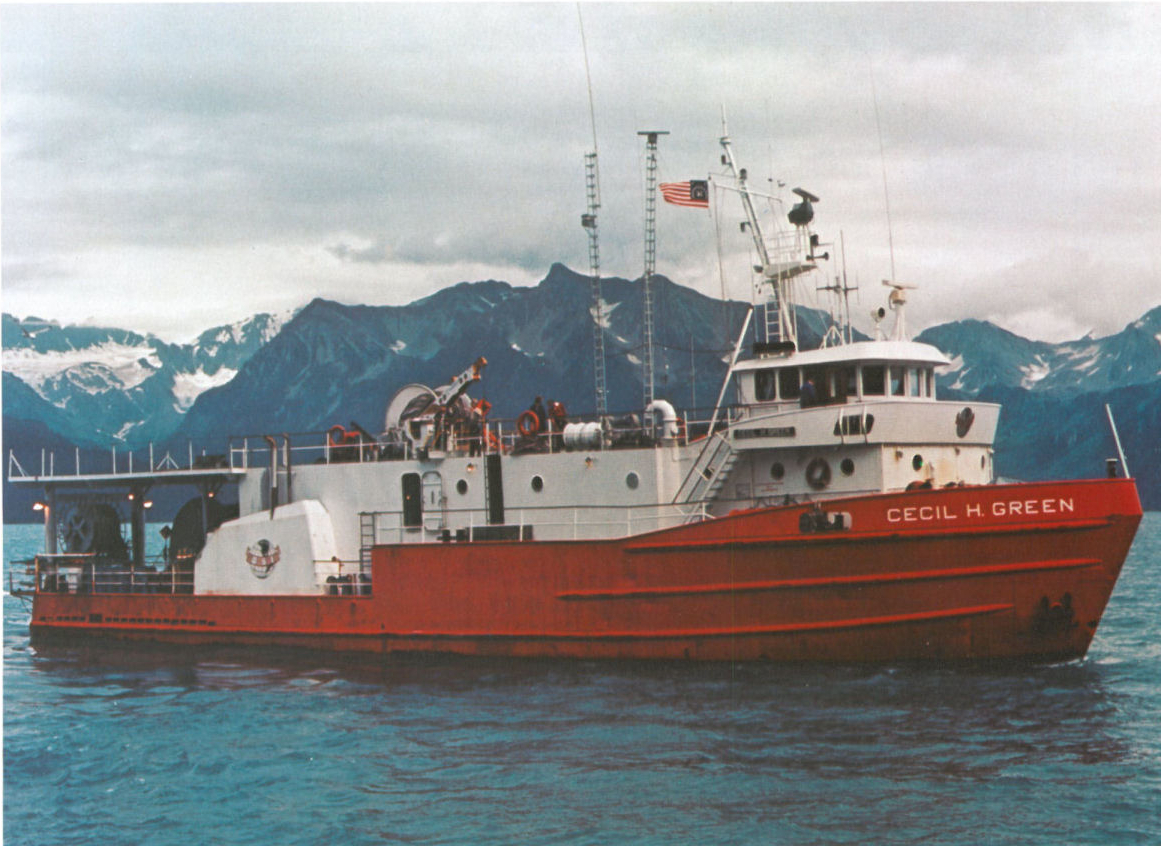 Cecil H. Green |
Bruns, T.R., and Bayer, Kenneth, 1977, Multichannel Seismic Reflection Data Acquired on the M/V Cecil H. Green in the Gulf of Alaska, June - August 1975: U.S. Geological Survey Open-File Report 77-352, http://pubs.usgs.gov/of/1977/0352/report.pdf.
Carlson, P.R., and Schwab, William C., 1982, Northern Gulf of Alaska environmental geology, in Bruns, T. R., ed., Hydrocarbon resource report for proposed OCS lease sale 88; southeastern Alaska, northern Gulf of Alaska, Cook Inlet, and Shelikof Strait, Alaska: U.S. Geological Survey Open-File Report 82-0928, pp. 73–86.
Carlson, P.R., Bruns, Terry R., Molnia, Bruce F., and Schwab, William C., 1982, Submarine valleys in the northeastern Gulf of Alaska; characteristics and probable origin: Marine Geology, v. 47 no. 3-4, pp. 217–242.
Fisher, M.A., von Huene, R., and Steele, W.C., 1983, Marine free-air gravity map of the western Gulf of Alaska, lower Cook Inlet, and Shelikof Strait, Alaska: U.S. Geological Survey Open-File Report 83-52, 2 p., http://pubs.er.usgs.gov/publication/ofr8352.
Steele, W.C., Degnan, C.H., Deeter, G.B., and Riordan, J.A., 1989, Description of marine geophysical data collected by the U.S. Geological Survey and how to obtain it: U.S. Geological Survey Open-File Report 89-167, 26 p., https://pubs.er.usgs.gov/publication/ofr89167.
