AKA: none
Other ID: GILB95031,95031
Status: Completed
Organization(s): USGS, St. Petersburg Coastal and Marine Science Center, USGS, Woods Hole Coastal and Marine Science Center, University of New Orleans, Lake Pontchartrain Basin Foundation, National Oceanic and Atmospheric Administration, Coalition to Restore Louisiana, U.S. Army Corps of Engineers, U.S. Environmental Protection Agency, University of Georgia
Funding Program(s): Lake Pontchartrain Geologic Framework and Coastal Processes Study (MU157)
Principal Investigator(s):
Affiliate Investigator(s): Jeff Williams (USGS Woods Hole)
Information Specialist(s): PARTNER
Data Type(s): Seismics: Boomer, Sonar: Sidescan, Sonar: Single Beam, Location-Elevation: Navigation
Scientific Purpose/Goals: Geologic framework and coastal processes study. Side scan sonar, Huntec, fathometer, vibracore
Vehicle(s):
Start Port/Location: New Orleans Municipal Marina
End Port/Location: New Orleans Municipal Marina
Start Date: 1995-07-23
End Date: 1995-07-29
Equipment Used: boomer, sidescansonar, bathymetry, GPS
Information to be Derived: Seismic reflection profile, side scans, bathymetry
Summary of Activity and Data Gathered: Boomer (13 lines), Sidescan, Bathymetry.
Staff: Dana Wiese
Affiliate Staff:
Notes:
Staff information imported from InfoBank
Jeff Williams (USGS Woods Hole) - Chief Scientist
Dana Wiese (USGS St. Petersburg) - Electronics Technician
Non USGS data manager = Karynna Calderon
Location:
Louisiana
| Boundaries | |||
|---|---|---|---|
| North: 30.4 | South: 30.05 | West: -90.45 | East: -89.8 |
Platform(s):
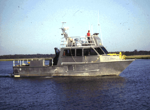 Gilbert |
| Survey Equipment | Survey Info | Data Type(s) | Data Collected |
|---|---|---|---|
| boomer | --- | Boomer | |
| sidescansonar | --- | Sidescan | |
| bathymetry | --- | Single Beam | |
| GPS | --- | Navigation |
