AKA: none
Other ID: I-R1-12-SC
Status: Completed
Organization(s): USGS, Pacific Coastal and Marine Science Center, University of Southern California, Orange County Sanitation District
Funding Program(s):
Principal Investigator(s): Marlene Noble
Affiliate Investigator(s):
Information Specialist(s): Kurt Rosenberger
Data Type(s): Time Series: Mooring (physical oceanography)
Scientific Purpose/Goals: Assess cross-shelf transport on shelf, slope, and canyons
Vehicle(s):
Start Port/Location: Newport, CA
End Port/Location: Newport, CA
Start Date: 2012-01-23
End Date: 2012-01-23
Equipment Used: tripod
Information to be Derived: Waves, Currents, Sediment Conc., Winds
Summary of Activity and Data Gathered:
Staff: Joanne Thede, Cordell Johnson, Marlene Noble, Kurt Rosenberger, Robert Wyland
Affiliate Staff:
Jamie Grover
Notes: instrument deployment on I-D7-11-SC
Staff information imported from InfoBank
Joanne Ferreira
Kurt Rosenberger
Marlene Noble
Cordell Johnson
Jamie Grover
Rob Wyland
Location:
Southern California off Newport Beach
| Boundaries | |||
|---|---|---|---|
| North: 35.75 | South: 32.25 | West: -122.25 | East: -114.25 |
Platform(s):
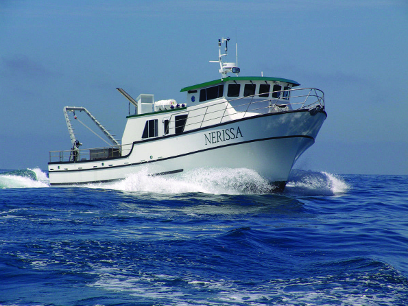 Nerissa |
| Survey Equipment | Survey Info | Data Type(s) | Data Collected |
|---|---|---|---|
| tripod | --- | Mooring (physical oceanography) |
