AKA: none
Other ID: M-03-13-SF
Status: Completed
Organization(s): USGS, Pacific Coastal and Marine Science Center
Funding Program(s):
Principal Investigator(s): Janet Watt
Affiliate Investigator(s):
Information Specialist(s): David Ponce, Janet Watt
Data Type(s): Electro-Magnetic: Magnetics, Location-Elevation: Navigation
Scientific Purpose/Goals: Collect marine magnetic data across the Hayward-Rodgers Creek Fault
Vehicle(s):
Start Port/Location:
End Port/Location:
Start Date: 2013-07-15
End Date: 2013-07-19
Equipment Used: magnetics, GPS
Information to be Derived: marine magnetics
Summary of Activity and Data Gathered:
Staff: David Ponce, Jennifer White
Affiliate Staff:
Carson Macpherson - Krutsky
Notes: Coastal and marine geology earthquake, landslide, tsunami active margin field studies
Staff information imported from InfoBank
David Ponce
Carson Macpherson - Krutsky
Jenny White
Location:
CA
| Boundaries | |||
|---|---|---|---|
| North: 38.25 | South: 37.25 | West: -123.25 | East: -121.75 |
Platform(s):
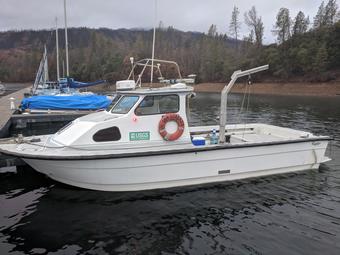 San Lorenzo |
| Survey Equipment | Survey Info | Data Type(s) | Data Collected |
|---|---|---|---|
| magnetics | --- | Magnetics | |
| GPS | --- | Navigation |
