AKA: none
Other ID: M-1-03-NC
Status: Completed
Organization(s): USGS, Pacific Coastal and Marine Science Center
Funding Program(s): National Seafloor Mapping and Benthic Habitat Studies (MU195)
Principal Investigator(s): Roberto Anima, John Chin
Affiliate Investigator(s):
Information Specialist(s):
Data Type(s): Location-Elevation: Navigation, Sonar: Sidescan
Scientific Purpose/Goals:
Vehicle(s):
Start Port/Location:
End Port/Location:
Start Date: 2003-07-01
End Date: 2003-07-02
Equipment Used: integratednavigation, YoNav, sidescansonar
Information to be Derived:
Summary of Activity and Data Gathered:
Staff:
Affiliate Staff:
Notes: Associated cruises in northern California: M-1-03-NC M-1-04-NC M-1-05-NC
Staff information imported from InfoBank
Roberto Anima (USGS Western Region) - Chief Scientist
John Chin (Chief Scientist, USGS Western Region) - Co
Location:
Cordell Banks Fanny Shoals area
| Boundaries | |||
|---|---|---|---|
| North: 37.96787 | South: 35.58393 | West: -123.599 | East: -121.49104 |
Platform(s):
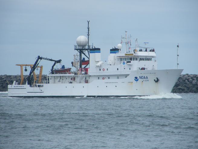 McArthur II |
Anima, R.J., Chin, J.L., Conrad, J.E., and Golden, N.E., 2006, Benthic habitat and geologic mapping of the outer continental shelf of north-central California: U.S. Geological Survey Open-File Report 2006-1177, http://pubs.usgs.gov/of/2006/1177.
| Survey Equipment | Survey Info | Data Type(s) | Data Collected |
|---|---|---|---|
| integratednavigation | --- | Navigation | Best file with nav in ArcInfo E00 format Global positioning system (GPS) data m-1-03-nc.060_eotcssp Global positioning system (GPS) data m-1-03-nc.060 (Provisional best file) |
| YoNav | --- | Navigation | |
| sidescansonar | --- | Sidescan | File list |
