AKA: none
Other ID: M-1-03-SC,AR-03-03
Status: Completed
Organization(s): USGS, Pacific Coastal and Marine Science Center, National Oceanic and Atmospheric Administration
Funding Program(s): National Seafloor Mapping and Benthic Habitat Studies (MU195)
Principal Investigator(s): Guy Cochrane
Affiliate Investigator(s):
Information Specialist(s):
Data Type(s): Imagery: Video, Location-Elevation: Navigation, Sonar: Sidescan
Scientific Purpose/Goals: Sidescan sonar and bottom camera sled in nearshore waters. Nearshore benthic habitat mapping in MPAs.
Vehicle(s):
Start Port/Location: Port Hueneme, CA
End Port/Location: Santa Barbara, CA
Start Date: 2003-07-08
End Date: 2003-07-18
Equipment Used: underwatertelevision, GPS, sidescansonar
Information to be Derived: Substrate type, microhabitat including benthic organisms and bottom fish.
Summary of Activity and Data Gathered: None
Staff: Amy Brown, Dave Gonzales, Henry Chezar, Fred Payne
Affiliate Staff:
Tara Anderson (USGS/NOAA) - Marine Biologist
Dale Roberts (National Park Service/NOAA) - Marine Biologist
Kristen Lee (USGS) - GIS Specialist
Sarah Fangman (NOAA/CINMS) - Research Coordinator
Brenda Polhman - Teacher intern
Notes: Associated cruises in southern California: B-1-98-SC B-1-99-SC B-2-99-SC M-1-99-SC M-1-00-SC J-1-02-SC M-1-02-SC M-1-03-SC S-5-04-SC Ship time from and other support from NOAA/Channel Islands National Marine Sanctuary.
Staff information imported from InfoBank
Guy Cochrane (USGS) - Chief Scientist
Tara Anderson (USGS/NOAA) - Marine Biologist
Dale Roberts (National Park Service/NOAA) - Marine Biologist
Kristen Lee (USGS) - GIS Specialist
Hank Chezar (USGS) - Video Specialist
Fred Payne (USGS) - Electronics technician
Dave Gonzales (USGS) - Electronics technician
Sarah Fangman (NOAA/CINMS) - Research Coordinator
Brenda Polhman - Teacher intern
Amy Brown - Teacher intern
Non USGS data manager = Kristen Lee
Location:
Southern California
| Boundaries | |||
|---|---|---|---|
| North: 34.40367 | South: 33.72434 | West: -120.549 | East: -119.20618 |
Platform(s):
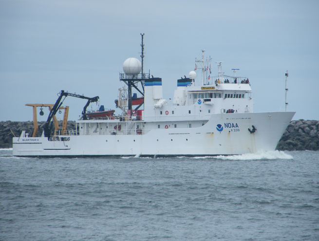 McArthur II |
| Survey Equipment | Survey Info | Data Type(s) | Data Collected |
|---|---|---|---|
| underwatertelevision | --- | Video | Survey information |
| GPS | --- | Navigation | Global positioning system (GPS) data m-1-03-sc.060 (Provisional best file) Best file with nav in ArcInfo E00 format |
| sidescansonar | --- | Sidescan | File list Survey information |
