AKA: 2005-018-FA
Other ID: M-1-05-MB
Status: Completed
Organization(s): USGS, Pacific Coastal and Marine Science Center
Funding Program(s): Monterey Canyon (MU184)
Principal Investigator(s): Joanne Thede, Marlene Noble, Kurt Rosenberger, Jingping Xu
Affiliate Investigator(s): Marinna Martini (Woods Hole)
Information Specialist(s): Joanne Thede
Data Type(s): Time Series: Mooring (physical oceanography)
Scientific Purpose/Goals: Deploy 1 sub-surface mooring in Soquel Canyon, and 1 sub-surface mooring in Monterey Canyon
Vehicle(s): None
Start Port/Location: San Francisco, CA
End Port/Location: Moss Landing, CA
Start Date: 2005-05-09
End Date: 2005-05-13
Equipment Used: instrumentmooring
Information to be Derived:
Summary of Activity and Data Gathered: Navigation Techniques: This is a Menlo cruise using Woods Hole equipment. No WHSC m784 deployed May 13, 2005 17:57 GMT Drop location: 36 47.452N 121 50.189W m785 deployed May 13, 2005 22:10 GMT Drop location: 36 50.714N 121 57.801W See assocated field activities: M-1-06-MB
Staff:
Affiliate Staff:
Notes: created FAN for data on FAD
Location:
Monterey Bay, California
| Boundaries | |||
|---|---|---|---|
| North: 37.88824989 | South: 36.32594502 | West: -122.80117929 | East: -121.31680429 |
Platform(s):
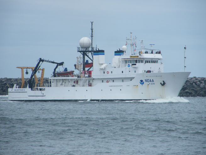 MacArthur II |
| Survey Equipment | Survey Info | Data Type(s) | Data Collected |
|---|---|---|---|
| instrumentmooring | --- | Geology Mooring (physical oceanography) |
